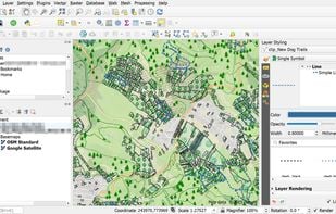
A fully featured, user friendly, open source Geographic Information System (GIS) with similar power to ArcGIS and MapInfo.
+9


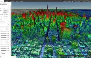
Aspectum is described as 'ASPECTUM is a cloud- based solution for location data visualization and analysis. ASPECTUM allows working with geospatial data in the format of points, lines and polygons, providing high-quality data analytics for converting it into valuable business outcomes' and is a GIS software in the travel & location category. There are seven alternatives to Aspectum for a variety of platforms, including Windows, Linux, Web-based, Android and iPhone apps. The best Aspectum alternative is QGIS, which is both free and Open Source. Other great apps like Aspectum are Placemark, ArcGIS, GRASS GIS and Equator.
A fully featured, user friendly, open source Geographic Information System (GIS) with similar power to ArcGIS and MapInfo.

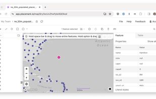
The Placemark application. This is a web application that lets you import, create, export, visualize, and publish geospatial data. It supports many geospatial data formats, and many editing operations, both algorithmic, like buffering, and drawing-based.


ArcGIS offers unique capabilities and flexible licensing for applying location-based analytics to your business practices.


GRASS GIS (Geographic Resources Analysis Support System) is an open source, free software (FOSS) Geographical Information System (GIS) with raster, topological, vector, image processing, and visualization functionality.


Equator is online mapping software that allows anyone to find, create and publish maps in minutes. One globe, unlimited maps.


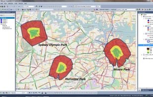
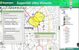
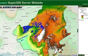
Supergeo Technologies Inc. is global leading GIS software & total solution provider. With series GIS products covering from desktop, mobile, server to developer SDK, SuperGIS has been utilized more than 100 different countries.