GPicSync
3 likes
GPicSync automatically inserts location in your photos metadata so they can also be used with any 'geocode aware' application like Picasa/Google Earth, Flickr, loc.alize.us, etc.
Cost / License
- Free
- Open Source
Platforms
- Mac
- Windows
- Linux
GPicSync News & Activities
Highlights All activities
Recent activities
- POX removed GPicSync as alternative to ACDSee Photo Studio
GPicSync information
Developed by
 Francois Schnell
 Licensing
Open Source and Free product.Alternatives
24 alternatives listedSupported Languages
- English


No comments or reviews, maybe you want to be first?
What is GPicSync?
GPicSync automatically inserts location in your photos metadata so they can also be used with any 'geocode aware' application like Picasa/Google Earth, Flickr, loc.alize.us, etc.
Features:
- Automatically geocode your photos (in the EXIF header).
- Use a GPS tracklog in the GPX format or NMEA format (multiple selection possible).
- Support elevation data if present in the tracklog.
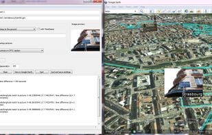
- Create a Google Earth KML file to directly visualize the geocoded photos and track in Google Earth.
- Create a Google Maps file to publish your pictures and track on the web.
- Automatically associate audio or video files in Google Earth and Google Maps.
- Create a Google Earth KMZ file (containing your geolocalized pictures and tracklog).
- Add additional geonames and 'geotagged' metadata (for automatic tagging in Flickr for example) and create an automatic IPTC caption.
- manually write latitude/longitude in a picture EXIF or a selection of photos.
- Handy tools integrated (Time correction tool, EXIF reader, GPX inspector, rename pictures with date/location).
- Supports Jpeg pictures and main RAW files format.
- Available in English, French, German, Italian, traditional and simplified Chinese, Catalan, Russian, Spanish, Polish, Portuguese and Czech.