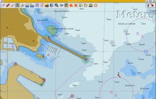
OpenCPN is a free software (GPLv2) project to create a concise chart plotter and navigation software, for use underway or as a planning tool.
Cost / License
- Free
- Open Source
Platforms
- Mac
- Windows
- Linux


Open Nautical Charts is described as 'OpenNauticalChart offers free seacharts for everybody. This charts are usable (offline) with several ship-plotters and Navigation-equipement on board' and is a Map service in the travel & location category. There are 2 alternatives to Open Nautical Charts for Mac, Windows, Linux and Web-based. The best Open Nautical Charts alternative is OpenCPN, which is both free and Open Source.
OpenCPN is a free software (GPLv2) project to create a concise chart plotter and navigation software, for use underway or as a planning tool.

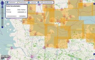
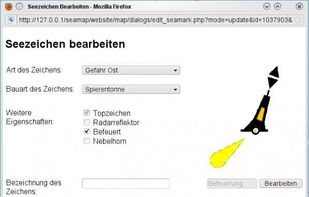
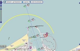
OpenSeaMap's goal is to add nautical and tourism information a sailor could be interested in to OSM (OpenStreetMap) and to present it in a pleasing way.