

TatukGIS Editor
1 like
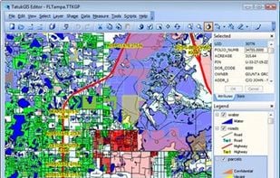
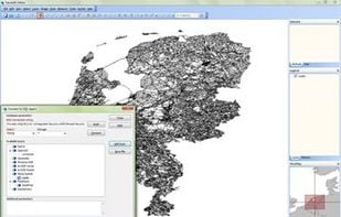
Professional desktop GIS supporting most ArcGIS (and other) data formats, enterprise spatial databases, 5,000 pre-defined coordinate systems, and built-in scripting IDE for customization and feature extensions.

Features
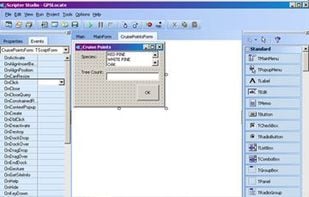
- Support for scripting
- 3D visualization
Tags
- Mapping
- gis-data-editing
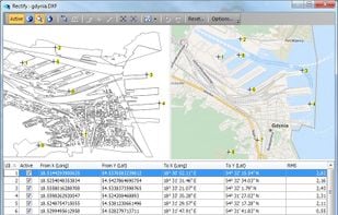
- map-rectification
- enterprise-databases
TatukGIS Editor News & Activities
Highlights All activities
Recent activities
No activities found.
TatukGIS Editor information
Developed by
UnknownLicensing
Proprietary and Commercial product.Alternatives
16 alternatives listedSupported Languages
- English


No comments or reviews, maybe you want to be first?
What is TatukGIS Editor?
Professional desktop GIS supporting most  ArcGIS (and other) data formats, enterprise spatial databases, 5,000 pre-defined coordinate systems, and built-in scripting IDE for customization and feature extensions.