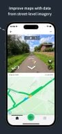
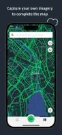
Collaborative street-level imagery platform using computer vision and machine learning for mapping, urban planning, transport, and geospatial dataset enhancement.
Cost / License
- Free
- Proprietary
Application type
Platforms
- Mac
- Windows
- Linux
- Online
- Android
- iPhone

Best alternatives are  Google Mapsand
 Kartaview
19 alternativesGoogle MapsandKartaview