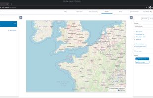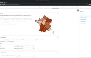

The new standard for GIS software. Simple and powerful. Step into Atlas to explore, analyze and share geospatial data.


The best GIS alternative to Google Earth is Atlas: GIS & Maps, which is free. If that doesn't suit you, our users have ranked more than 50 alternatives to Google Earth and six of them are GIS Software so hopefully you can find a suitable replacement. Other interesting GIS Software alternatives to Google Earth are Sentinel Hub, Aakashe, Mergin Maps and OffRoad OSM.
The new standard for GIS software. Simple and powerful. Step into Atlas to explore, analyze and share geospatial data.

Daily earth data and analytics for broad area management.
Easily extract insights from Earth observation data and build your own applications on top of Planet Insights Platform — without having to build or manage your own infrastructure.


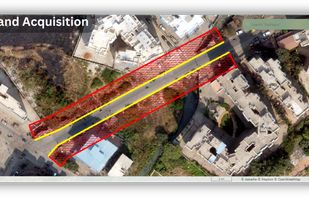
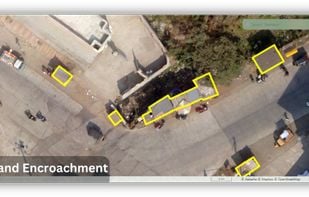
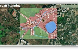
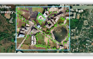
Aakashe is an instant drone imagery platform based in India. The subscription-based solution provides high-resolution aerial data to customers in infrastructure, urban planning, and real estate sectors.


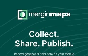
Mobile app for Mergin Maps 📲. Open QGIS projects and manage vector data on your phone, even offline 📶 (Android/iOS/Windows app).


Offline desktop map viewer featuring vector OpenStreetMap data, navigation, GPX track import/export, elevation and contour display, customizable map layers, waypoint tools, and efficient handling of large files for outdoor, hiking, or off-road planning and navigation.