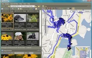
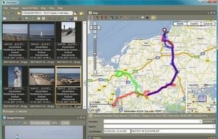
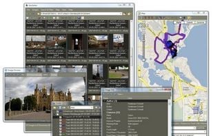
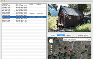
Freeware tool for Windows for showing and changing geo data and other metadata (IPTC/XMP/Exif) of digital camera image files.
Cost / License
- Free
- Proprietary
Platforms
- Windows


GPSPhotoLinker is described as 'Adds GPS position and location data to your photos. The latitude and longitude recorded by your GPS unit are linked and saved to your photos. GPSPhotoLinker automatically enters the city, state and country into the metadata' and is an app in the travel & location category. There are more than 10 alternatives to GPSPhotoLinker for a variety of platforms, including Windows, iPhone, iPad, Android and Mac apps. The best GPSPhotoLinker alternative is Geosetter, which is free. Other great apps like GPSPhotoLinker are Garmin BaseCamp, GeoPhoto, GeoTag for macOS and Geotag.
Freeware tool for Windows for showing and changing geo data and other metadata (IPTC/XMP/Exif) of digital camera image files.
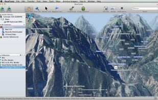
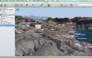
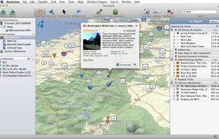
Garmin BaseCamp provides an interface for viewing Garmin map products and managing geographic data. With BaseCamp, you can perform the following tasks:


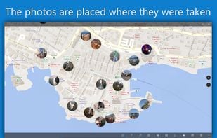
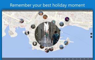
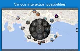
Ever wondered where you took all your great photos? Or want to know where one specific photo was shot? No problem with GeoPhoto!

GeoTag is a freeware tool for Mac for showing and changing geo data of image files (e.g. images taken by digital cameras).


Geotag is an open source program that allows you match date/time information from photos with location information from a GPS unit or from a map


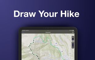
Turn your pictures into a journey map: with Photo Route, you can easily draw the route between the places you've visited.


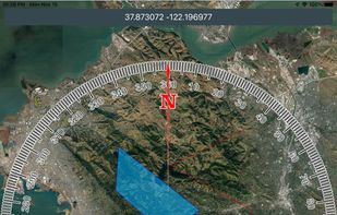
Mgrs & Utm Map is a GPS and coordinate system application designed to assist military personnel and outdoor enthusiasts with navigation, supporting various satellite systems and offering diverse map layers.

RoboGEO geocodes digital photos with location data (latitude, longitude, altitude, photo direction, etc.) and then allows you to perform various operations on the photos or to export them to different applications.

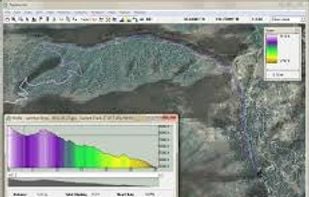
TopoFusion is a GPS mapping software for Windows. It downloads maps (topo, aerial photo and satellite) automatically from several public map servers.

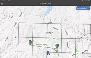
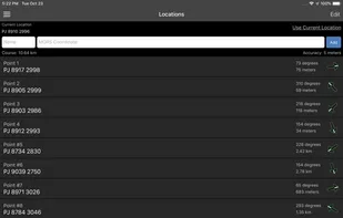
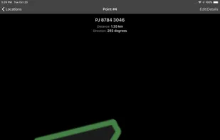
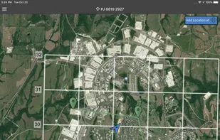
Land Nav Assistant is a navigation app designed for military personnel that accepts MGRS or Latitude / Longitude coordinates, providing visual navigation to each point and enabling users to analyze their pace count and directional tendencies.

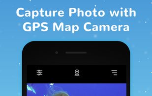
When was the last time you talked to someone to tell you where are you?Probably,that would be some long time back.With this navigation app GPS Map camera:Geotag Photos & add GPS Location,on a smartphone, you can survive even in the middle of nowhere.


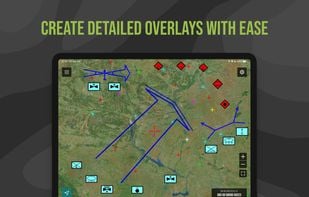
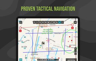
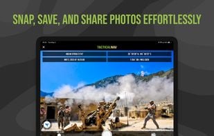
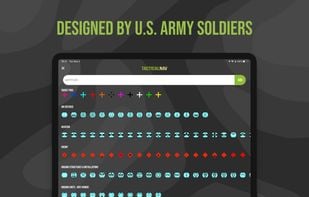
Military-grade navigational app, created by a U.S. Army Field Artillery officer, designed to provide service members with a highly accurate mobile solution for tactical navigation, featuring features such as offline mapping, waypoint plotting, and a tactical drawing mode.