Self-hosted GPS track archive for importing, mapping, filtering and analyzing recorded activities, with statistics, 3D replay, media and route planning.
 Switzerland



+6

M


Garmin BaseCamp is described as 'Provides an interface for viewing Garmin map products and managing geographic data. With BaseCamp, you can perform the following tasks:' and is a Map service in the sport & health category. There are more than 10 alternatives to Garmin BaseCamp for a variety of platforms, including Windows, Linux, Mac, Docker and Android apps. The best Garmin BaseCamp alternative is MTL Explorer, which is both free and Open Source. Other great apps like Garmin BaseCamp are wanderer, QMapShack, gpx.studio and TopoFusion.
Self-hosted GPS track archive for importing, mapping, filtering and analyzing recorded activities, with statistics, 3D replay, media and route planning.
Switzerland
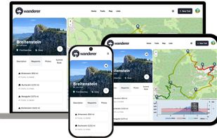
wanderer is a self-hosted trail database. You can upload your recorded tracks or create new ones and add various metadata to build an easily searchable catalogue.


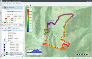
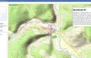
QMapShack is the next generation of the famous QLandkarte GT application, the GIS app to display your GPS data on a variety of maps.


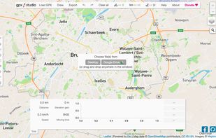
View, edit and create GPX files online : add, move and delete points, merge multiple files, reverse, add timestamps, edit waypoints and more!.


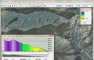
TopoFusion is a GPS mapping software for Windows. It downloads maps (topo, aerial photo and satellite) automatically from several public map servers.


GPXSee is a Qt-based GPS log file viewer and analyzer that supports GPX, TCX, KML, FIT, IGC and NMEA files.
 Czechia
 EU
EU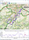
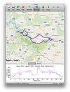
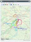


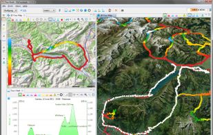
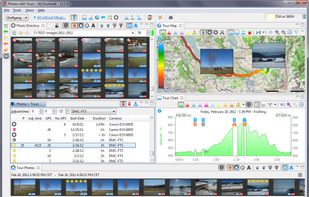
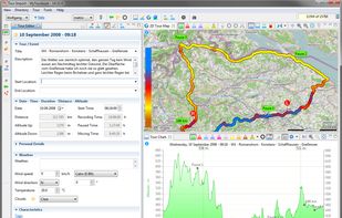
MyTourbook is free software to visualize and analyze tours which are recorded by a GPS device, bike- or exercise computer and ergometer.
 GermanyEU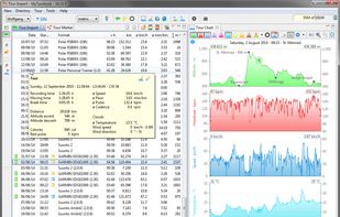


The Tyre is a route planner for your motorcycle trip. With this software, you can prepare your track with many waypoints and export that in your device.
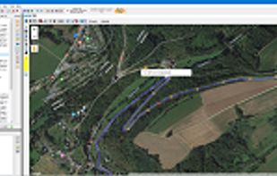


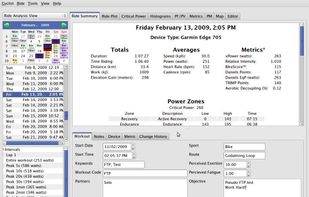
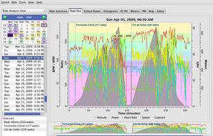
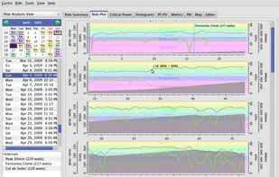
Performance Software for Cyclists, Runners, Triathletes and Coaches.


QLandkarte GT is a powerful Open Source GIS application to display your GPS data on a variety of maps. It's target is the less the scientific user but the private outdoor aficionado


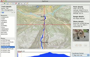
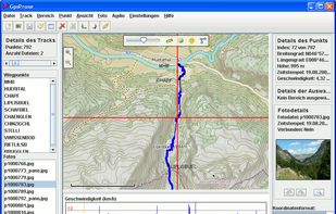
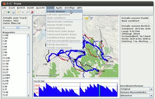
GpsPrune is an application for viewing, editing and converting coordinate data from GPS systems. Basically it's a tool to let you play with your GPS data after you get home from your trip.
GermanyEU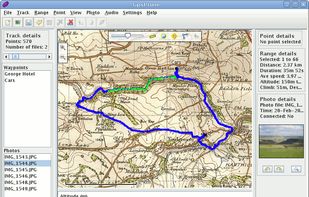


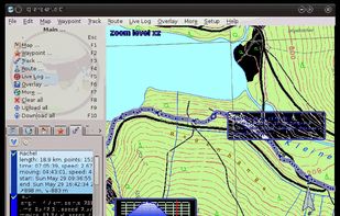
Viking is a free/open source program to manage GPS data. You can import, plot and create tracks, routes and waypoints, show OSM, Terraserver, Bing Aerial and other maps, geotag images, see real-time GPS position, get geocaches, control items, etc.