Self-hosted GPS track archive for importing, mapping, filtering and analyzing recorded activities, with statistics, 3D replay, media and route planning.
 Switzerland



+6

M


wanderer is described as 'Self-hosted trail database. You can upload your recorded tracks or create new ones and add various metadata to build an easily searchable catalogue' and is a Map service in the travel & location category. There are more than 10 alternatives to wanderer for a variety of platforms, including Windows, Linux, Mac, Web-based and Android apps. The best wanderer alternative is MTL Explorer, which is both free and Open Source. Other great apps like wanderer are Outdooractive, Trailence, gpx.studio and RouteConverter.
Self-hosted GPS track archive for importing, mapping, filtering and analyzing recorded activities, with statistics, 3D replay, media and route planning.
Switzerland
Outdooractive is a digital platform for planning and navigating outdoor activities worldwide. It offers reliable maps, routes, and weather data, and allows users to explore various locations, access exclusive features and discounts, and connect with official organizations and...
 Germany
 EU
EU


Trailence is a free and open-source application for managing your outdoor trails and GPS tracks. You can record new tracks, import existing ones, organize them, and view them on a map. The app also allows you to edit your trails and keep them neatly organized.
 FranceEU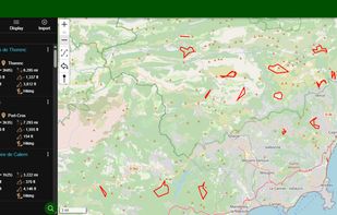
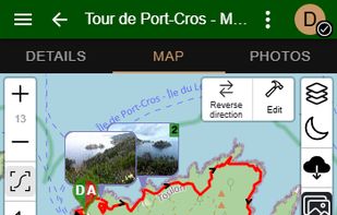
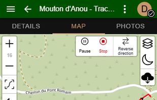
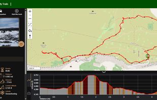


View, edit and create GPX files online : add, move and delete points, merge multiple files, reverse, add timestamps, edit waypoints and more!.
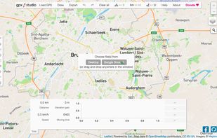


RouteConverter displays, modifies, enriches and converts GPS data between over 75 formats. It works without installation under Linux, Mac OS X and Windows, automatically detects the format of a file, supports drag and drop, undo and redo, offers a map view onto the positions of...
GermanyEU


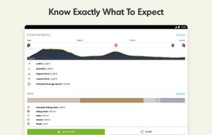
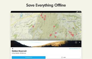
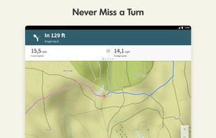
Komoot is the key to the outdoors. Just plan your hiking, road cycling or MTB adventures in the planner, and be guided along every trail, track, road or path—even when you’re offline. Get your first region for free and say hello to your next adventure!
GermanyEU


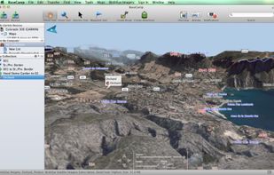
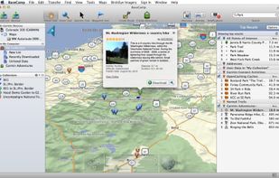
Garmin BaseCamp provides an interface for viewing Garmin map products and managing geographic data. With BaseCamp, you can perform the following tasks:
 United States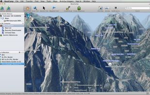


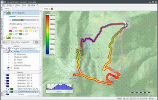
QMapShack is the next generation of the famous QLandkarte GT application, the GIS app to display your GPS data on a variety of maps.


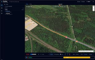
Local-first ride viewer — import, browse, tag, replay, compare and analyse your tours. TourGaze turns the FIT / GPX / TCX / KMZ files from your bike computer, watch or phone into a searchable, taggable library of rides — with a cinematic map replay, advanced per-ride analytics...


QLandkarte GT is a powerful Open Source GIS application to display your GPS data on a variety of maps. It's target is the less the scientific user but the private outdoor aficionado
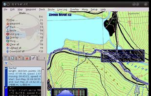
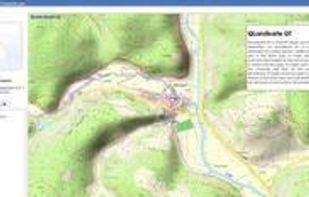


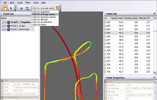
GPS Track Editor: Free Windows Application to Make GPS Tracks Better.
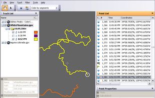
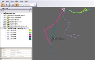


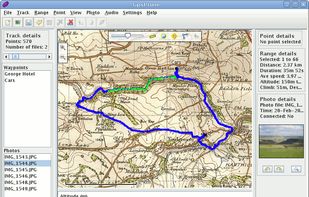
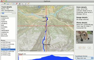
GpsPrune is an application for viewing, editing and converting coordinate data from GPS systems. Basically it's a tool to let you play with your GPS data after you get home from your trip.
GermanyEU