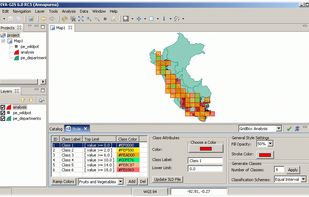
GRASS GIS Alternatives
GRASS GIS is described as '(Geographic Resources Analysis Support System) is an open source, free software (FOSS) Geographical Information System (GIS) with raster, topological, vector, image processing, and visualization functionality' and is a GIS software in the travel & location category. There are more than 25 alternatives to GRASS GIS for a variety of platforms, including Windows, Web-based, Linux, Mac and Android apps. The best GRASS GIS alternative is QGIS, which is both free and Open Source. Other great apps like GRASS GIS are what3words, Placemark, ArcGIS and Plus Codes.
Alternatives list

Maximize the use of your Excel spreadsheet data. Make mapping the easiest. Transform Excel data into visual analysis. We lead in data simplification and presentation. We are committed to deliver the tools needed to outpace competition.
Cost / License
- Freemium
- Proprietary
Platforms
- Mac
- Windows
- Online


uDig is a GIS software program produced by a community led by Canadian-based consulting company Refractions Research. It is based on the Eclipse platform and features full layered open source GIS. It is written in Java and released under GNU Lesser General Public License.


MapWindow is a fully free and open source geographic information system project. It includes an open source programming component, MapWinGIS ActiveX, and an extensible desktop application that supports plug-ins written in .NET (C# and VB.NET).


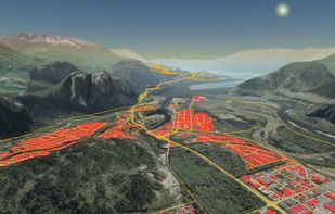
gvSIG is a Geographic Information System (GIS), that is, a desktop application designed for capturing, storing, handling, analyzing and deploying any kind of referenced geographic information in order to solve complex management and planning problems.


MapServer is an Open Source platform for publishing spatial data and interactive mapping applications to the web. Originally developed in the mid-1990’s at the University of Minnesota, MapServer is released under an MIT-style license, and runs on all major platforms (Windows...


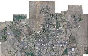
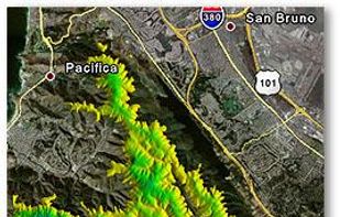
MICRODEM is a freeware microcomputer mapping program written by Professor Peter Guth of the Oceanography Department, U.S. Naval Academy. MICRODEM displays and merges digital elevation models, satellite imagery, scanned maps, vector map data, and GIS databases.


MapInfo Professional is a powerful, functionally rich desktop mapping application from Pitney Bowes MapInfo, designed to enable organisations to solve business problems that have a geographical element.
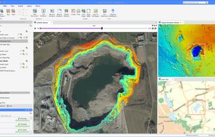

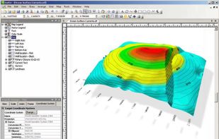
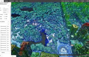
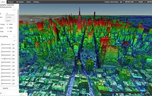
 13 Surfer alternatives
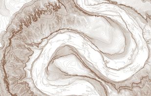
Surfer is a full-function contouring, gridding, and 3D surface mapping software. It is used extensively for terrain modeling, bathymetric modeling, landscape visualization, surface analysis, etc.
Cost / License
- Paid
- Proprietary
Platforms
- Windows


Manifold GIS is a combination of mapping, CAD, DBMS and image processing. The hallmark of GIS is the power of using a visual interface to view, grab, analyze, manipulate and transform data that would not be comprehensible in classic row and column DBMS text presentations.
 +6
+6


Beautiful, User Friendly online mapping software that scales to big data.
The MapLarge API enables user-driven, low latency, interactive visual exploration and analysis of very large geospatial and non-geospatial data collections to recognize patterns and identify anomalies. Use.


 43 Equator alternatives
Equator is online mapping software that allows anyone to find, create and publish maps in minutes. One globe, unlimited maps.
 +3
+3