QLandkarte GT Alternatives
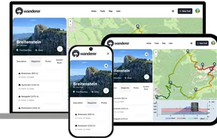
QLandkarte GT is described as 'Powerful Open Source GIS application to display your GPS data on a variety of maps. It's target the less the scientific user but the private outdoor aficionado' and is a Map service in the travel & location category. There are more than 10 alternatives to QLandkarte GT for a variety of platforms, including Windows, Linux, Mac, Web-based and BSD apps. The best QLandkarte GT alternative is wanderer, which is both free and Open Source. Other great apps like QLandkarte GT are RouteConverter, gpx.studio, Garmin BaseCamp and QMapShack.
Alternatives list
 19 RouteConverter alternatives
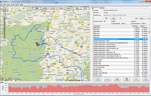
RouteConverter displays, modifies, enriches and converts GPS data between over 75 formats. It works without installation under Linux, Mac OS X and Windows, automatically detects the format of a file, supports drag and drop, undo and redo, offers a map view onto the positions of...
Cost / License
- Free
- Open Source
Platforms
- Mac
- Windows
- Linux


View, edit and create GPX files online : add, move and delete points, merge multiple files, reverse, add timestamps, edit waypoints and more!.
Cost / License
- Free
- Open Source (MIT)
Platforms
- Online


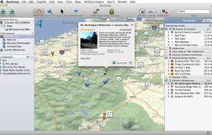
 18 Garmin BaseCamp alternatives
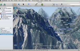
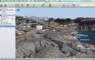
Garmin BaseCamp provides an interface for viewing Garmin map products and managing geographic data. With BaseCamp, you can perform the following tasks:
Cost / License
- Free
- Proprietary
Platforms
- Mac
- Windows

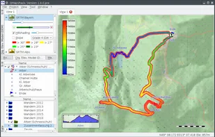
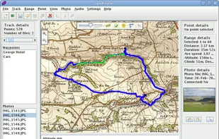
 21 QMapShack alternatives
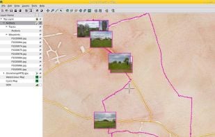
QMapShack is the next generation of the famous QLandkarte GT application, the GIS app to display your GPS data on a variety of maps.
Cost / License
- Free
- Open Source (GPL-3.0)
Platforms
- Mac
- Windows
- Linux
- Bitbucket

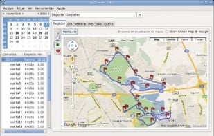
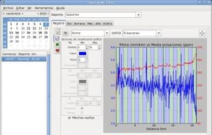
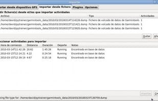
 62 Pytrainer alternatives
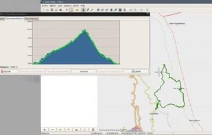
Pytrainer is a tool to log all your sport excursion coming from GPS devices (with a focus on Garmin ForeRunnner 205, 305 and 405) or GPX files. Pytrainer supports GPS track files and displays your data in graphs and maps.
Cost / License
- Free
- Open Source (GPL-2.0)
Platforms
- Linux

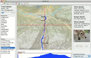
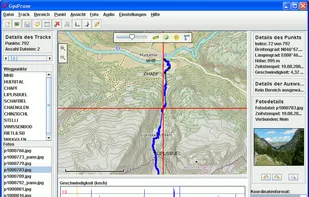
 18 GpsPrune alternatives
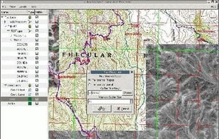
GpsPrune is an application for viewing, editing and converting coordinate data from GPS systems. Basically it's a tool to let you play with your GPS data after you get home from your trip.
Cost / License
- Free
- Open Source
Platforms
- Mac
- Windows
- Linux
- OpenJDK
 +8
+8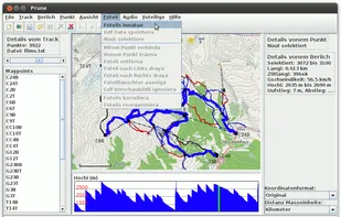


Cost / License
- Free
- Proprietary
Alerts
- Discontinued
Platforms
- Windows


Viking is a free/open source program to manage GPS data. You can import, plot and create tracks, routes and waypoints, show OSM, Terraserver, Bing Aerial and other maps, geotag images, see real-time GPS position, get geocaches, control items, etc.
Cost / License
- Free
- Open Source
Platforms
- Mac
- Windows
- Linux
- BSD
 +2
+2

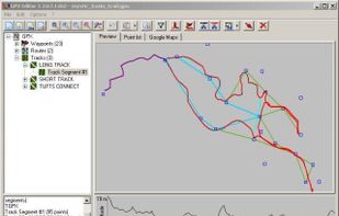
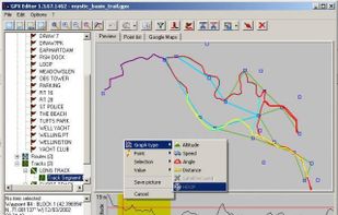
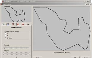
 18 GPX Editor alternatives
Load, modify and save your GPX 1.1 files. Add and remove waypoints, edit track and routes, simplify tracks (reducing file's size), clean recorded data, add and edit GPX metadata, edit waypoint, route and track properties, all with real-time preview.
Cost / License
- Free
- Open Source
Platforms
- Windows
 +2
+2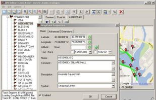

Cost / License
- Free
- Open Source (GPL-3.0)
Platforms
- Mac
- Windows
- Linux