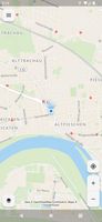
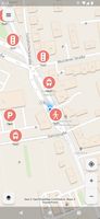
App for collecting OpenStreetMap-compliant accessibility data in public transport and elsewhere.
Cost / License
- Free
- Open Source (GPL-3.0)
Application type
Platforms
- Android
- iPhone
- iPad
- F-Droid

Germany
EU


App for collecting OpenStreetMap-compliant accessibility data in public transport and elsewhere.


Mapability is a web based tool to locate accessible streets and buildings based on more than 90 parameters. Users can contribute by taking geo-localized photos or by helping adding parameters to existing data.

Find wheelchair accessible places with Wheelmap. Users can find, enter and modify accessible and less accessible locations on a virtual map. With the search mask you can also find worldwide locations - for example to plan a journey.