GIS Software Page 4 of 4

All apps in GIS Software category. Use the filters below to narrow down your search. 
Copy a direct link to this comment to your clipboard
  1. Fire AI icon
     Like

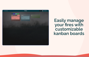
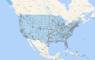
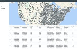
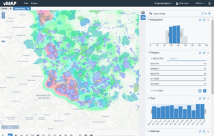
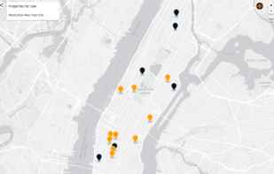
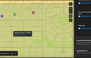
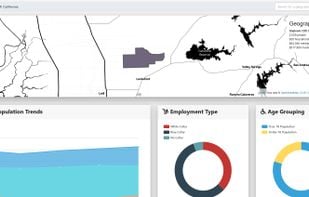
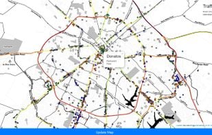
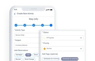
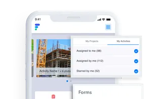
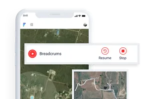
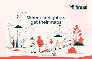
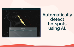
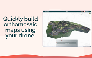
    Fire AI is a software company that provides a modern, streamlined solution for wildfire intelligence. Our platform allows firefighters to create, edit, share, and store their maps in one place, making it easier to quickly understand the fire, map it with drones, and share...

    Cost / License

    • Freemium
    • Proprietary

    Application type

    Platforms

    • Online
    Fire AI screenshot 1
    Fire AI screenshot 1
    Fire AI screenshot 2
    +2
    Fire AI screenshot 3
    3 alternatives
  2. Table & Map icon
     1 like

    Visualize your location data in an interactive map. Upload an excel or csv file with addresses or latitudes and longitudes to get started.

    Cost / License

    • Freemium
    • Proprietary

    Platforms

    • Software as a Service (SaaS)
    Table & Map screenshot 1
    Table & Map screenshot 1
    15 alternatives
  3. vMAP Portal is a web GIS which provides data visualization, analysis, route calculation, reporting with an easy-to-use interface, central rights & roles, and can be easily integrated with other tools like BI, CRM etc. without much coding and setups.

    Cost / License

    • Paid
    • Proprietary

    Application type

    Platforms

    • Online
    • Self-Hosted
    Color filter feature
    Area dashboard feature
    Routing feature
    +4
    Object inspector feature
    11 alternatives
  4. NT GeoMaps provides expanded functionality to ensure cable and network infrastructures are optimized end-to-end. It gives users much-needed transparency into their passive network infrastructure, both inside buildings and between buildings and facilities, by combining FNT’s...

    Cost / License

    • Paid
    • Proprietary

    Application type

    Platforms

    • Online
    FNT GeoMaps screenshot 1
    FNT GeoMaps screenshot 1
    FNT GeoMaps screenshot 2
    7 alternatives
  5. cvFiber icon
     Like

    cvFiber is fiber optic network management software to build and view OSP networks by mapping and managing fiber optic infrastructure, including fiber cables, conduits, buildings, towers, poles, splice trays, manholes, handholes and patch panels.

    Cost / License

    • Paid
    • Proprietary

    Application type

    Platforms

    • Online
    7 alternatives
  6. GeoSheets icon
     Like

    GeoSheets is a free add-on for Google Spreadsheets that makes it simple to do lightweight GIS tasks like geocoding, address normalization, distance calculations and creating customized and embeddable maps.

    Cost / License

    • Freemium
    • Proprietary

    Application types

    Platforms

    • Online
    • Google Drive
    GeoSheets screenshot 1
    GeoSheets screenshot 1
    GeoSheets screenshot 2
    +1
    GeoSheets screenshot 3
    32 alternatives
  7. xMap AI icon
     Like

    xMap is an AI-powered location intelligence platform that enables users to ask geospatial questions in natural language, such as “Where should I open a new gym with low competition and high Gen Z population?”, and receive instant, visual answers.

    Cost / License

    • Freemium
    • Proprietary

    Application type

    Platforms

    • Online
    Major Food Brands on xMap
    Demographics data on xMap
    Demographic details of an area in USA
    +2
    Competitors Mapping in xMap
    4 alternatives
  8. Corgilytics icon
     1 like

    Corgilytics allows non-technical users to explore geographies using demographic, psychographic and other useful data sets.

    Cost / License

    • Freemium
    • Proprietary

    Application type

    Platforms

    • Online
    • Software as a Service (SaaS)
    Neighborhood overviews
    Interactive maps
    Concentric population counts
    +2
    Clustering and traffic counts
    11 alternatives
  9. Fielda icon
     Like

    Fielda is a Low-Code and Easy to use Mobile Data Collection and Workflow management platform built specifically for field activity. Our proprietary Geospatial Software (GIS) Maps can speed up mobile data collection and provide in-depth insights.

    Cost / License

    • Paid
    • Proprietary

    Application type

    Platforms

    • Android
    • iPhone
    • iPad
    Activity Management
    Customize Forms & Checklist
    GIS Maps
    +3
    Fielda screenshot 3
    5 alternatives