




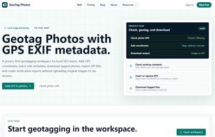
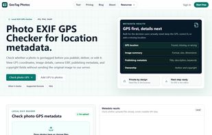
GeoTag Photos is a web-based tool for adding, replacing, and verifying GPS metadata in photos. It can read existing EXIF location data, apply shared or per-file coordinates, choose a location on a map, search for an address, or accept latitude and longitude entered manually.
Cost / License
- Freemium
- Proprietary
Platforms
- Online
- Google Chrome
 United States




+1



 India
India


 Germany
 EU
EU


