




NASA World Wind
44 likes
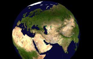
World Wind lets you zoom from satellite altitude into any place on Earth. Leveraging Landsat satellite imagery and Shuttle Radar Topography Mission data, World Wind lets you experience Earth terrain in visually rich 3D, just as if you were really there.

Cost / License
- Free
- Open Source
Application type
Platforms
- Mac
- Windows
- Linux


Features
NASA World Wind News & Activities
Highlights All activities
Recent activities
 POX added NASA World Wind as alternative to Google Earth Engine
 wingscape added NASA World Wind as alternative to HooMap
 PixelPlenum added NASA World Wind as alternative to Plenum Globe
 hooosberg added NASA World Wind as alternative to TrekReel
 softmizeappstudio added NASA World Wind as alternative to Live Street View MAp Explorer
 softmizeappstudio added NASA World Wind as alternative to Earth3D app


NASA World Wind information
Developed by
 NA SA
NA SA Licensing
Open Source and Free product.Alternatives
20 alternatives listedBadge
Get an embeddable badge for NASA World WindSupported Languages


No comments or reviews, maybe you want to be first?