


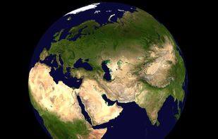
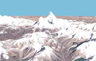
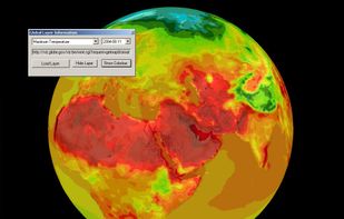
World Wind lets you zoom from satellite altitude into any place on Earth. Leveraging Landsat satellite imagery and Shuttle Radar Topography Mission data, World Wind lets you experience Earth terrain in visually rich 3D, just as if you were really there.
Cost / License
- Free
- Open Source
Application type
Platforms
- Mac
- Windows
- Linux
 United States



Best alternatives are  Google Earthand
20 alternativesGoogle Earthand


