




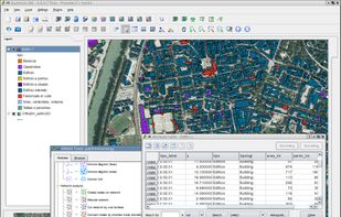
GRASS GIS (Geographic Resources Analysis Support System) is an open source, free software (FOSS) Geographical Information System (GIS) with raster, topological, vector, image processing, and visualization functionality.
Cost / License
- Free
- Open Source
Application typeApplication types
Platforms
- Mac
- Windows
- Linux
 United States




 Russia


 France
 EU
EU


 India
India


