Mapline Alternatives
Mapline is described as 'Maximize the use of your Excel spreadsheet data. Make mapping the easiest. Transform Excel data into visual analysis. We lead in data simplification and presentation. We are committed to deliver the tools needed to outpace competition' and is an app in the office & productivity category. There are more than 100 alternatives to Mapline for a variety of platforms, including Web-based, Windows, Android, iPhone and iPad apps. The best Mapline alternative is OpenStreetMap, which is both free and Open Source. Other great apps like Mapline are Google Maps, Google Earth, QGIS and HERE WeGo.
Alternatives list

The Headway Project was born out of a frustration with the need to send current and future location data to a corporation in order to figure out how we’re getting from A to B. Offline-only maps apps can be frustrating to use, and sometimes suffer from performance problems, poor...


 33 Navmii alternatives
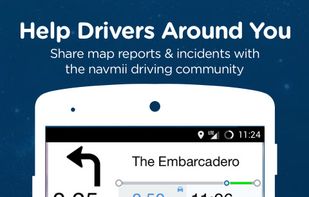
Free navigation and traffic app offering offline OpenStreetMap-based maps, live traffic updates, voice guidance, automatic rerouting, walking mode, driver analytics, HD maps, POI searches with Foursquare integration, in more than 150 countries worldwide.
Cost / License
- Freemium
- Proprietary
Application type
Platforms
- Android
- iPhone
- Android Tablet
- iPad

 +2
+2


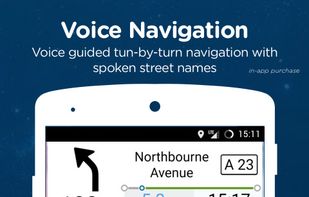
Find your way around the city and keep track of current traffic with your cell phone.

 +3
+3


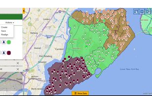
Maplytics is a geospatial mapping app that seamlessly integrates Bing Maps with Microsoft Dynamics 365 to visualize Dynamics CRM/365 data on a map and improve business processes and engage the right customers at the right time.
Cost / License
- Paid
- Proprietary
Platforms
- Mac
- Windows
- Online
- Android
- iPhone
 +2
+2


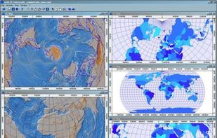
SAGA - System for Automated Geoscientific Analyses - is a Geographic Information System (GIS) software with immense capabilities for geodata processing and analysis. SAGA is programmed in the object oriented C++ language and supports the implementation of new functions with a...


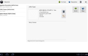
 22 Maverick alternatives
Maverick is a GPS off-road navigation app for Android devices. It automatically caches all your maps for offline use so that you can access them even without an Internet connection. This app is great for hiking, boating, geocaching, and other outdoor activities.
 +7
+7


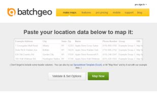
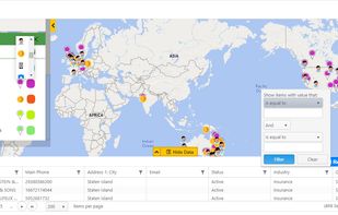
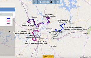
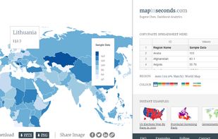
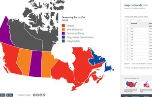
Turn your spreadsheet data into maps in just seconds by simply copy-pasting spreadsheet data.
Cost / License
- Free
- Proprietary
Platforms
- Online


Make maps from a list of multiple addresses, create a mobile optimized map or locator. Free hosting for your custom interactive map or locator.
Cost / License
- Freemium
- Proprietary
Platforms
- Online