OpenStreetMap is a project aimed squarely at creating and providing free geographic data such as street maps to anyone who wants them. It is a free editable map of the whole world. It is made by people like you.
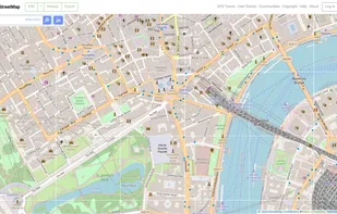
OpenStreetMap is a project aimed squarely at creating and providing free geographic data such as street maps to anyone who wants them. It is a free editable map of the whole world. It is made by people like you.

Explore Earth's vast landscapes and urban wonders with detailed satellite imagery, offline access, and ad-free experience.

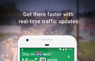
Navigate efficiently with real-time traffic updates, turn-by-turn GPS, panoramic street views, and comprehensive route planning for multiple platforms.
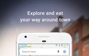


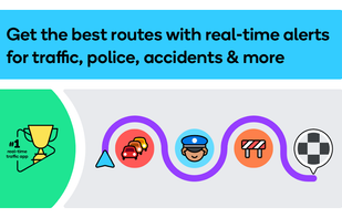
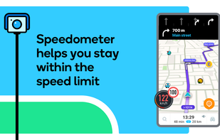
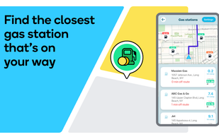
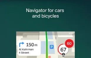
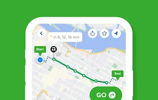
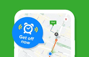
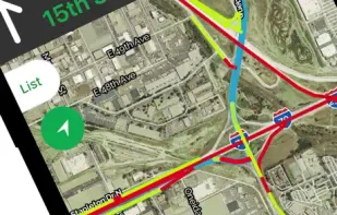
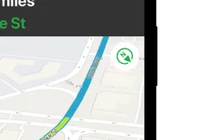
Real-time navigation with community-reported traffic and hazard alerts, voice guidance, and map editing, ensuring a smoother drive every day.


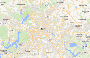
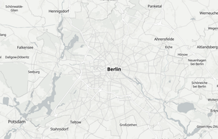
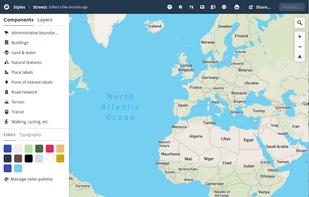
Free map hosting solution offers customizable map styles from OpenStreetMap, with no usage limits or registration required.
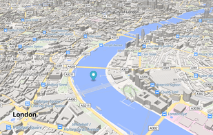

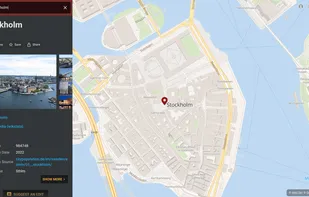
Offers a Google Maps–style interface with clickable OpenStreetMap points, editing tools, vector maps with 3D tilting, public transport data, and mobile PWA support.

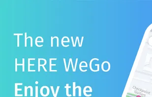
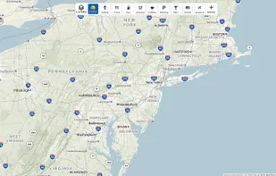
Explore the world in glorious 3D with HERE Maps. Discover new places, collect your favourite places, plan the perfect journey, and sync it all with your mobile phones.


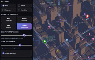
Pick a destination or a distance and we’ll build safe, scenic routes using real-world data. Fine-tune surfaces, turns, elevation, and loopback for your perfect ride.


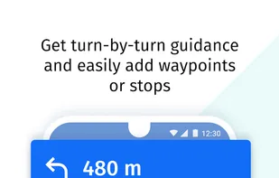
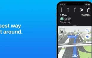
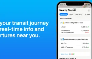
Navigate with ease using voice-guided directions, real-time traffic, transit updates, and explore cities in 3D with Look Around and Flyover.


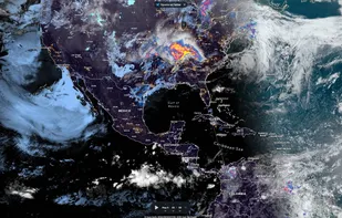
Live images of Earth, updated every 10 minutes with GOES and Himawari-8, and every 15 minutes with Meteosat. Zoom to Satelite Map view with Street names. Rain and Weather view.

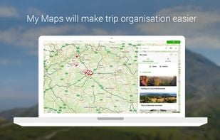
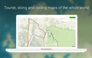
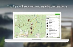
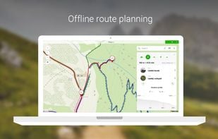
Global offline tourist maps feature hiking and bike trails, route planning, synced trip organization, panoramic images, public transit info, and local amenities.

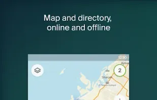
2GIS provides 3D-maps of 180+ cities, contacts of 1.5 million companies, car routing and public transport routes and and more! 2GIS is a complete and up-to-date directory of organizations with detailed cities’ maps.
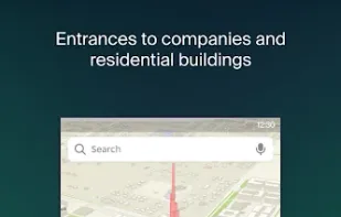
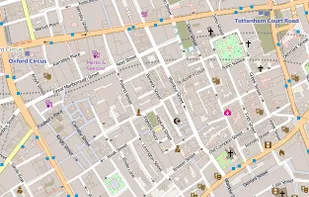
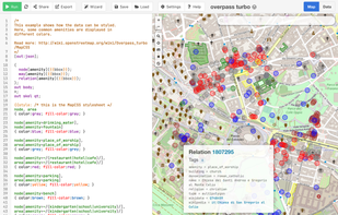
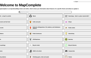
MapComplete is an OpenStreetMap-viewer and editor, which shows you information about features of a specific theme and allows to update it.

uMap let you create maps with OpenStreetMap layers in a minute and embed them in your site. Add custom annotations, lines, shapes, import and add custom layers (KML, CSV, GPS, ...) and other data.

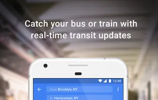
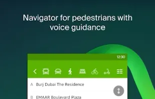
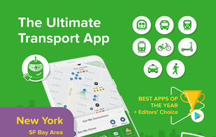
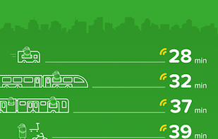
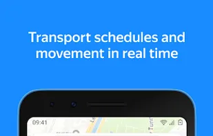
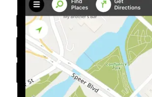
Real-time departures. Transit maps. Line status and real-time disruption alerts. Uber integration. Bike routing and live bike share info. Constant updates. Everything you need -- and may not even realize you need -- to manage your life in the city.

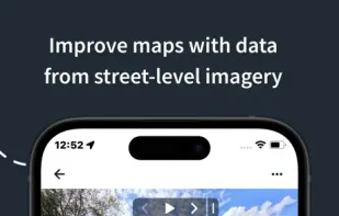
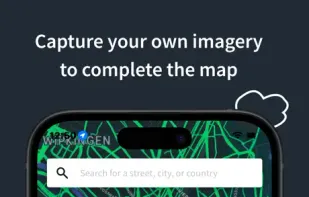
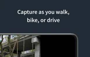
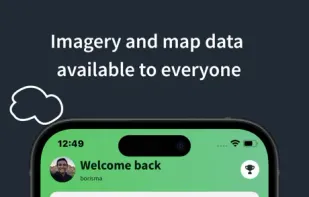
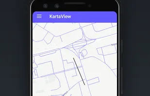
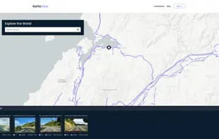
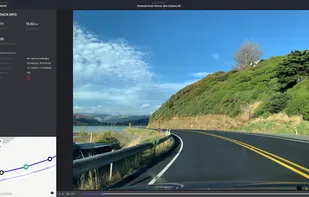
KartaView is a free and open platform for street level imagery. Anyone can contribute images with a smartphone and the open source apps.


Streets GL is a real-time 3D map renderer built for visualizing OpenStreetMap data with a heavy focus on eye-candy features.


Yandex.Maps gives you access to maps of over 1800 cities and towns right in your pocket. Find addresses and companies. Plan your journeys in a car or on public transport taking current traffic conditions into account.


Create personalized maps using Open Street Map data and integrate them seamlessly into web and mobile applications with advanced styling tools.


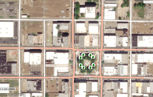
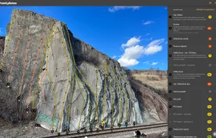
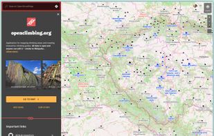
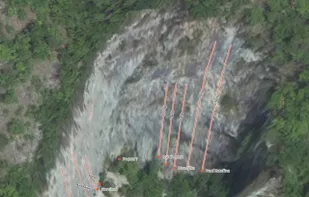
Application for mapping climbing areas and creating interactive climbing guides. All data is open and anyone can edit it – similar to Wikipedia.

Supplies voice-guided GPS navigation, live maps, real-time traffic, route alternatives, cost comparisons, weather, POI search, and hotel and food booking.

Collaborative street-level imagery platform using computer vision and machine learning for mapping, urban planning, transport, and geospatial dataset enhancement.