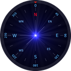

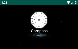
This is a Compass app. This compass support both accelerometer and magnetometer sensors to provide accurate directions.
Cost / License
- Free
- Proprietary
Platforms
- Android
+4
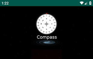
This is a Compass app. This compass support both accelerometer and magnetometer sensors to provide accurate directions.
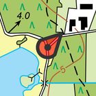
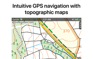
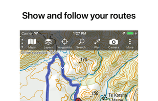
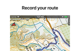
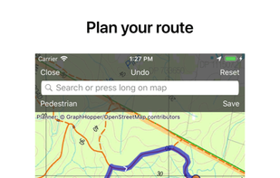
Topo GPS is an app that turns your smartphone in a full feature GPS device with topographic maps that are offline available. In Topo GPS you can easily create waypoints, enter, scan, and view coordinates, measure distances and angles, and record, plan and generate routes and...
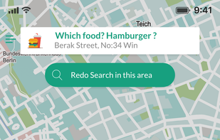
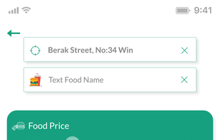
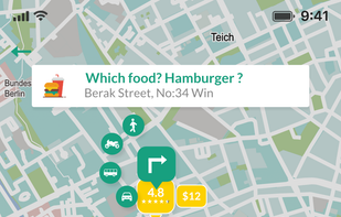
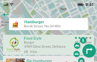
Location based restaurant food price, food rating & distance comparison and navigation by car, on foot, transit and bike in 41 countries. Just write hamburger, share/pin your location and list all hamburgers around; compare, select one and navigate.

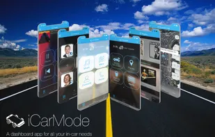
iCarMode contains the major features needed to ease & improve your iPhone-Car experience. The large buttons give you a quick and comfortable access to your favorite contacts, playlists, navigation and other useful features.

Crowdsourcing account-based interactive mobile map. All places are added by people without pre-moderation. Places quality is determined by voting (like on Reddit, low rated places are hidden). Ability to see places from chosen contributors.


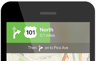
This is your fastest way around live traffic, speed cameras, and road hazards and right to wherever you are going. Boost your day-to-day navigation with your intelligent driving companion.

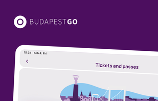
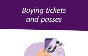
The FUTÁR application by BKK Centre for Budapest Transport has been renewed under the name BudapestGO, which, in addition to real-time route planning, has been extended with new functions: you can buy digital single tickets, daily and weekly travelcards or passes in the...


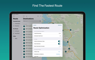
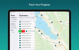
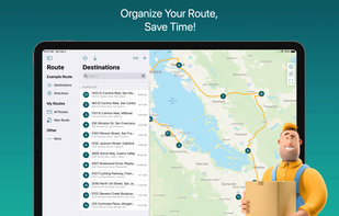
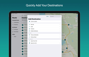
Find the fastest route for your delivery route with Droppath Route Planner. 3 easy steps: add your stops, find the optimal route and drive away! Droppath ilets thousands of drivers around the world save time on the road. Everyday.

UrtheCast is developing the world's first near realtime HD Earth video stream, via two cameras mounted aboard the International Space Station (ISS).
Zap-Map enables EV drivers to locate available charge points, plan longer electric journeys, share updates with the EV community and pay for charging on participating networks.

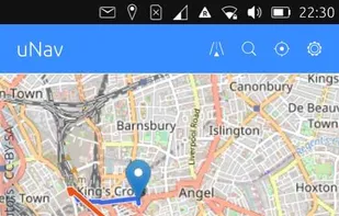
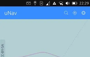
Open source mapping and GPS navigation using OpenStreetMap and Openrouteservice, offering online and offline access, multiple transport modes, and voice guidance.
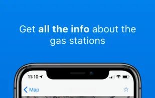
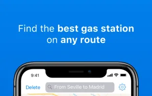
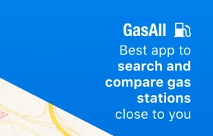
GasAll is the best app to find the gas station that fits you better in every moment: by price, by distance, by fuel or with a nice promotion or discount. Since 2008 we have been pioneers showing all the relevant information about the gas stations in Spain.

TallyGo provides a state-of-the-art mapping and navigation SDK that can be integrated into existing apps with virtually no development effort. Built for iOS, Android, and web.
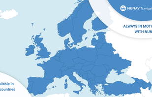
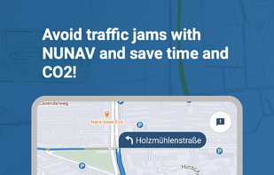
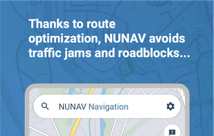
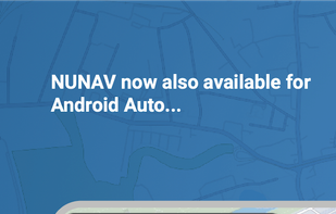
Avoid and prevent traffic jams with collaborative routing. This is exactly what NUNAV is about. Be part of an intelligent swarm and help reduce traffic jams, keep traffic flowing more smoothly and protect the environment at the same time.

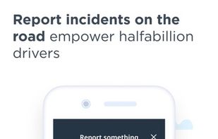
Highway Radar is an application to help drivers be aware of road hazards, cameras, and speed traps. It collects traffic-related information from multiple sources and provides notices on potential risks on the road.
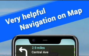
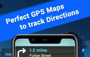
Offline Maps offers free GPS Navigation with Driving Directions and Real-Time Traffic Alerts.
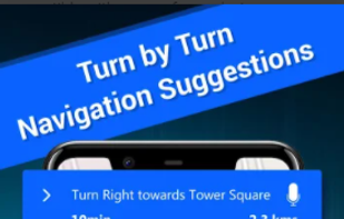
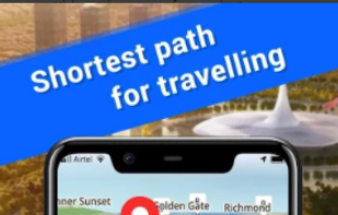
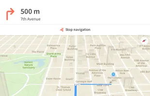
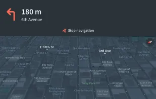
Offline maps with turn-by-turn voice guidance, automatic rerouting, lane assistance, points of interest search, parking finder, and restaurant info.