
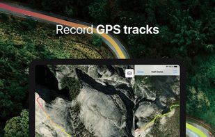
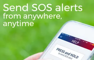
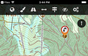
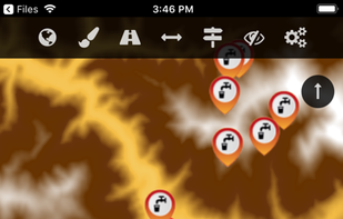
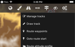
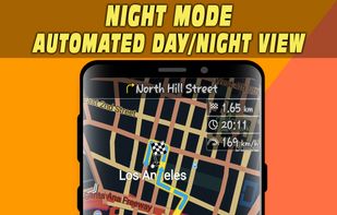
PeakVisor will make you a superhero of outdoor navigation by putting state-of-the-art 3D maps and mountain identification magic wand in your hand.
Cost / License
- Freemium
- Proprietary
Application types
Platforms
- Android
- iPhone
- iPad


+7
PeakVisor will make you a superhero of outdoor navigation by putting state-of-the-art 3D maps and mountain identification magic wand in your hand.

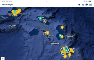
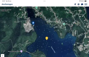
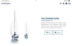
The Anchorages app curate extraordinary anchoring spots from secluded coves to bustling marinas, connecting sailors with the perfect place to drop anchor. Our community-driven platform offers detailed satellite charts, real-time conditions, and insider tips from other sailors.

Where To? will simply get you where you want to go with a fun, painless interface that caters to your personal preferences.


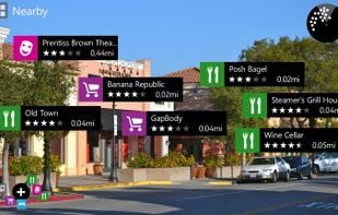
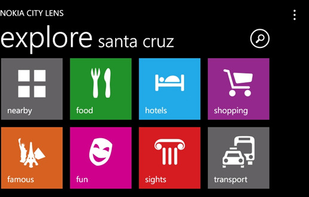
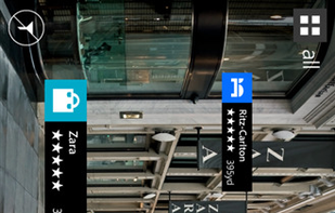
Nokia City Lens is now HERE City Lens giving you an entirely new way to reveal what’s around you. Simply hold up your phone as though taking a photo, and HERE City Lens overlays the best shops, restaurants and points of interest right on your display.

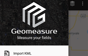
Geo measure area calculator app is major for the GPS fields and land surveying. It helps you to google maps, measurement. Check the distance between two points cities.


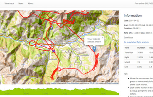
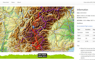
e-Logbook is a free interactive online GPS / IGC track viewer. It allows you to visualize a GPS / IGC track on an interactive 2D topographic map with flight analysis features.

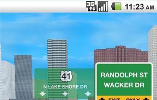
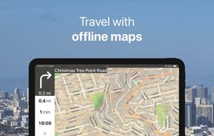
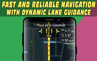
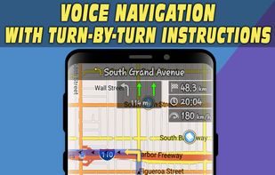
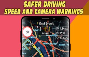
Offline maps with monthly updates, turn-by-turn and voice navigation, real-time GPS tracking, fast multilingual search, millions of POI, and map downloads.
A flight planning and analysis tool for glider, paraglider and hang glider pilots. It is designed for Windows PC as well as Android, iPhone and iPad devices.

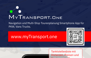
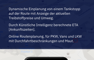
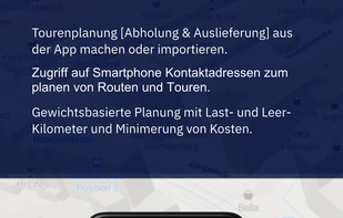
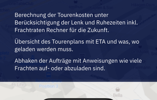
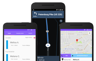
MyTransport.One is the indispensable logistics app for route planning, route optimization, order management, and navigation across Europe. It is specifically designed to support delivery drivers, truckers, carriers, and couriers. (Car, Van, Truck).

Stadia Maps provides great looking maps and geographic data services. We’re here to help you grow your business, not your bills.

gMaps - Google Maps for Windows Phone 7

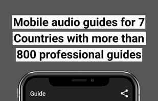
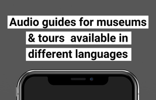
Hearonymus is a free audio guide app for smartphones & a platform hosting many professional audio guides across areas like arts, culture and tourism.


Pre-configured VM servers: map servers, driving directions, geocoding and reverse-geocoding. Ready for integration and deployment.


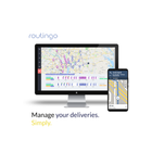
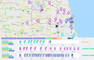
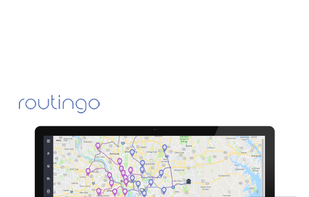
Plan field delivery management with Routingo, save the time and fuel with the optimized routes and manage your delivery process.

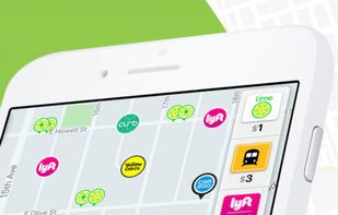
Migo shows you all the options available to get you around town so you can find the best ride for you at that time. If surge/peak pricing has got you down, take public transit, a scooter a bike, or a taxi.


The Cartograph app views Mapsforge offline vector maps, offline raster maps, and online/WMS maps. It supports tracking, route search, overlays, hillshading, reliefs, track drawing, and has many other features.


Offline navigation app with HD maps, voice-guided directions, categorized POI search, lane and speed limit alerts, and route recalculation for Android.

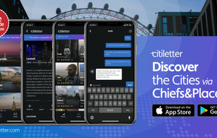
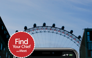
The people who know a city best are either the locals and the travellers. We called them “Chief,” and our story began.… Discover the cities, meet with the chiefs, take their advices and send a message to them!


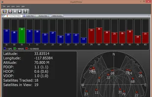
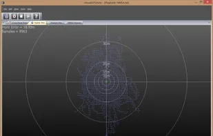
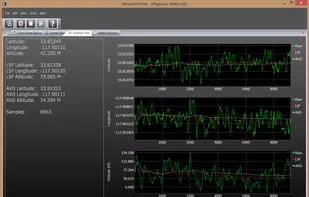
VisualGPSView is a new product that allows you to display graphically the output of your GPS receiver. VisualGPSView supports GPS and GLONASS NMEA 0183 sentences. Advanced feature included position plot, position scatter plot and averaging.
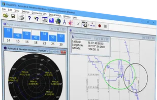

VisualGPSView incorporates many advanced features found in professional programs. Its sole purpose is to display graphically specific NMEA 0183 sentences.
Modo is two-way carsharing. It's affordable, convenient and super easy. It's a Vancouver original.
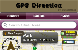
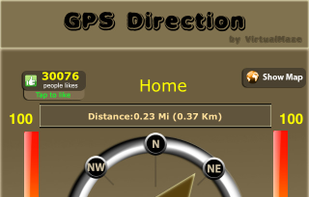
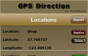
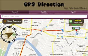
GPS Direction is a GPS based compass app in which you can set target location whatever you want. Our compass will show the direction and the route on map to your target location. It will make your travel easy! Its free only!!. Just download it!!!

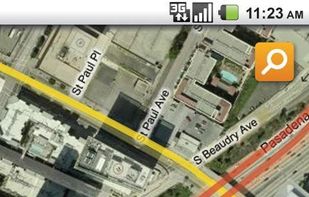
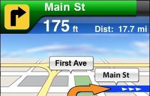
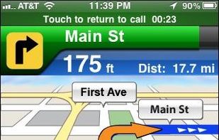
AT&T Navigator transforms your smartphone into a voice-guided GPS navigation system, with turn-by-turn driving directions, traffic alerts, automatic rerouting, gas price search, and regular map updates.
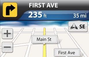

VZ Navigator by Verizon tells you where you are and what's nearby, providing turn-by-turn directions to get to your destination on time.