
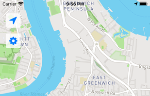
Navigation tool for on-road and off-road use on Android and Linux, featuring compass, GPX tracking, road routing, POI database, and offline mapping.
Navigation tool for on-road and off-road use on Android and Linux, featuring compass, GPX tracking, road routing, POI database, and offline mapping.

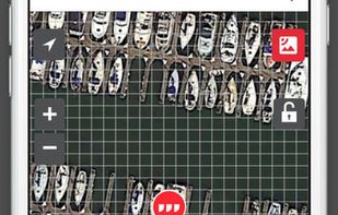
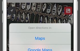
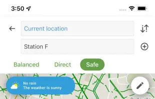
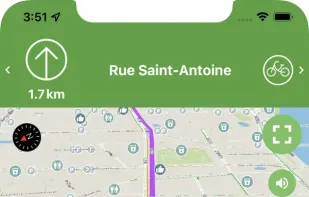
Supplies voice-guided GPS navigation, live maps, real-time traffic, route alternatives, cost comparisons, weather, POI search, and hotel and food booking.

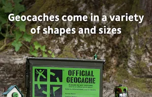
Supercharge your geocaching adventures with the official, full-featured Geocaching App. There are millions of geocaches waiting to be found, scattered throughout more than 185 countries around the world—there are probably even some near you right now.


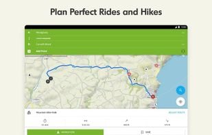
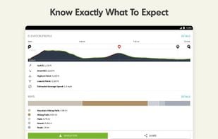
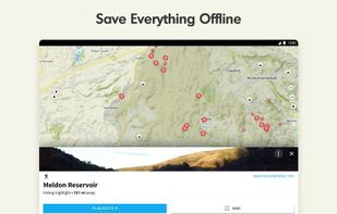
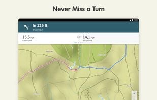
Komoot is the key to the outdoors. Just plan your hiking, road cycling or MTB adventures in the planner, and be guided along every trail, track, road or path—even when you’re offline. Get your first region for free and say hello to your next adventure!

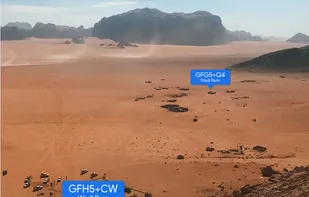
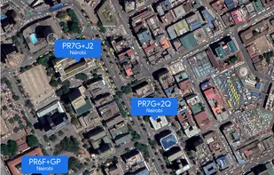
A plus code address looks like a regular address, but with a short code where the street name and number would be. These addresses exist for any location, even for places where there are no roads.


Explore the outdoors with AllTrails! Discover nature with hiking, biking, backpacking and running trails around the world. Log your hike, walk, run or mountain bike ride with our GPS activity tracker. Looking for a good spot for camping or backpacking?


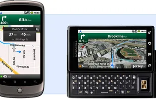
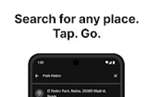
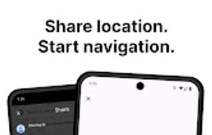
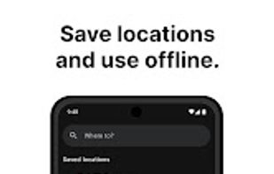
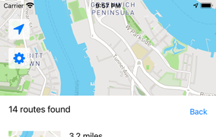
Google Maps Navigation is an internet-connected GPS navigation system with voice guidance.


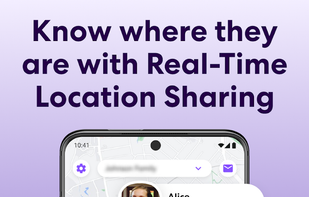
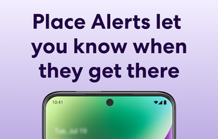
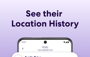
Easily and privately stay connected with loved ones with invite-only circles that let you share locations and get notified of changes.


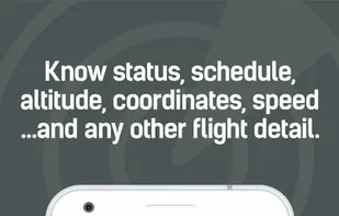
Real-time flight tracking app with one of the best and most accurate coverage worldwide. Download the app for free and know the exact current position of every plane in the sky in real-time!.


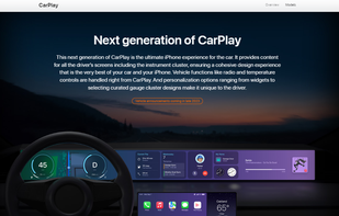
Apple CarPlay is a smarter, safer way to use your iPhone in the car. Just plug in your iPhone and go.


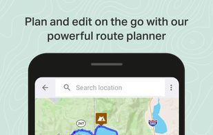
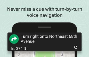
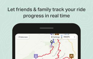
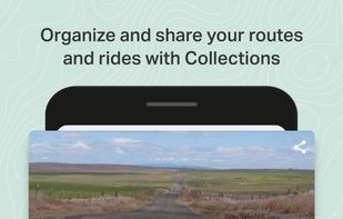
Ride with GPS is the best bike route planner, turn-by-turn voice navigation, and tracking app for cyclists, runners, and hikers. Get the best bike computer and activity tracker available, to plan, navigate, track, record, and share your activities.

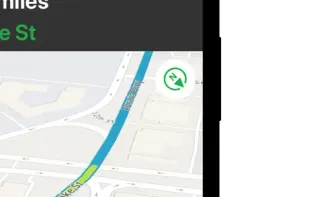
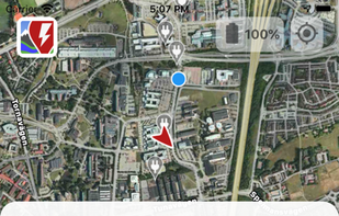
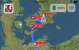
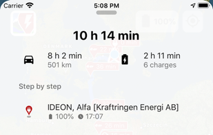
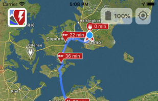
A Better Routeplanner (ABRP) is the world's most respected service to plan, learn and dream about Electric Vehicles - EVs. Simply select your vehicle model, enter your destination and hit plan to get a full trip plan including charge stops and trip duration.

What3words encodes geographic coordinates into 3 dictionary words (for example, the Statue of Liberty is located at planet.inches.most). what3words is different from other alphanumeric location systems and GPS coordinates in that it displays 3 words rather than long strings of...


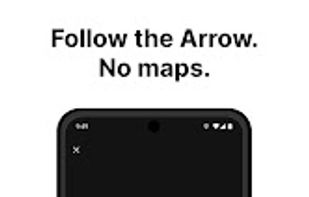
Arrow is a lightweight navigation app designed for travellers who want to explore without distractions. Instead of a map, you get a clean arrow that always points you in the right direction - no zooming, dragging, or rerouting needed.
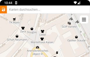
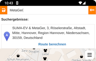
Anonymous map and navigation tool using OpenStreetMap data, offering detailed daily updates, searches for places or routes, and step-by-step planning for cyclists, pedestrians, and drivers.


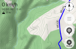
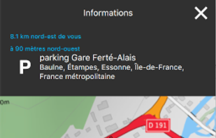
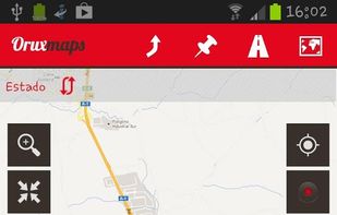
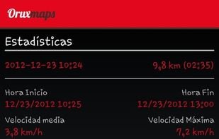
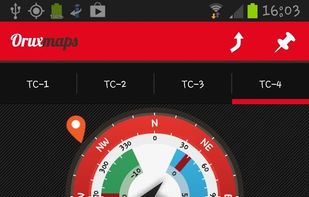
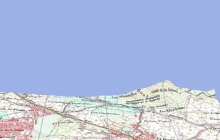
OruxMaps is an online/offline map viewer and track logger for Android. You can use OruxMaps for your outdoor activities (running, trekking, mountain bike, paragliding, flying, nautic sports, etc.)
Features:
Online map viewer The tiles used online can be cached, and can be used.
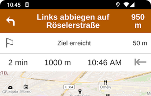
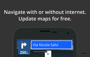
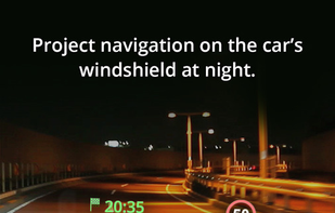
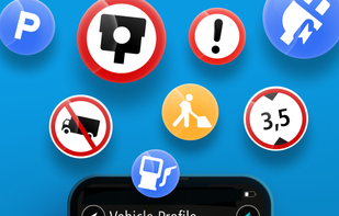
Advanced offline 3D maps with voice navigation, live traffic, speed camera warnings, multiple route options, dashcam recording, parking, and fuel info.

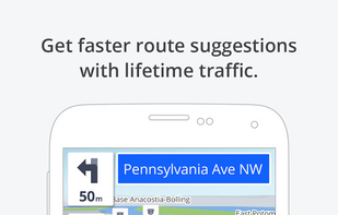

GPS navigation app with real-time traffic updates, customizable routes for cars and trucks, speed alerts, offline maps, and Apple CarPlay compatibility.


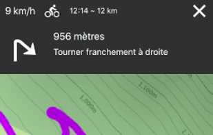
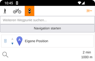
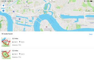
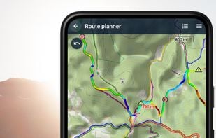
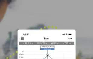
Create, plan, edit, record, save or share your trips, keep the memories, track your performance, and much more. Locus Map is designed for hiking, mountain biking, cycling, running, geocaching, cross-country skiing, and other outdoor activities.

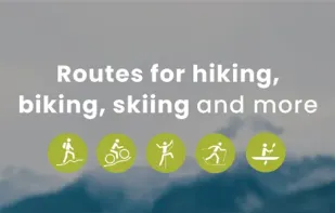
Outdooractive is a digital platform for planning and navigating outdoor activities worldwide. It offers reliable maps, routes, and weather data, and allows users to explore various locations, access exclusive features and discounts, and connect with official organizations and...


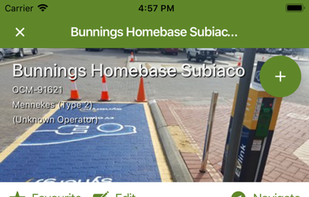
Open Charge Map is the global database of EV charging stations, managed and populated by EV drivers from all over the world.
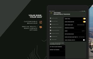
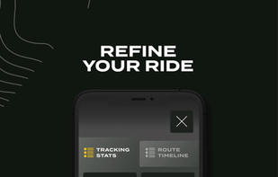
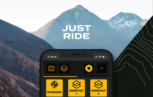
Scenic is the number one Motorcycle Navigation App. It’s a genuine alternative to expensive motorcycle GPS units like the Garmin Zumo and TomTom Rider.