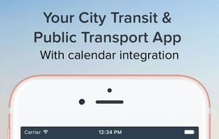
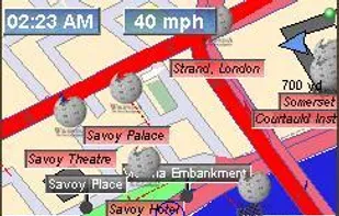
Find your way around the city and keep track of current traffic with your cell phone.
Cost / License
- Free
- Proprietary
Application types
Platforms
- Android
- iPhone
- iPad
+3
Find your way around the city and keep track of current traffic with your cell phone.


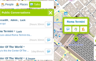
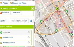
KeplerJs is a open source geosocial solution that lets users share favorite places and join discussions in real-time. It can be seen as a platform where users can interact with other open data platforms searching across OpenStreetMap, Geonames among other sources.


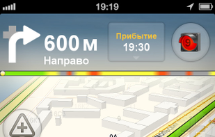
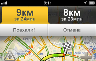
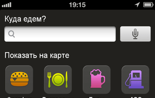
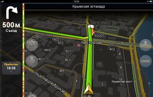
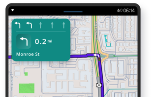
GPS navigation with offline maps, voice guidance, real-time traffic, multi-vehicle routing, truck restrictions, and up to three route choices after a free trial.


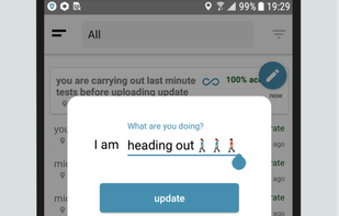
Locate friends and family by mobile phone number or email address for free.


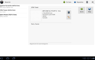
Maverick is a GPS off-road navigation app for Android devices. It automatically caches all your maps for offline use so that you can access them even without an Internet connection. This app is great for hiking, boating, geocaching, and other outdoor activities.
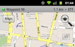

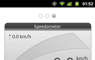

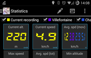
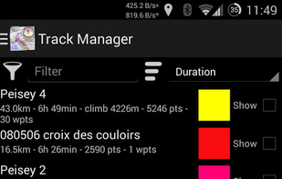
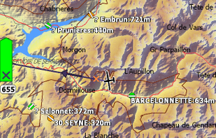
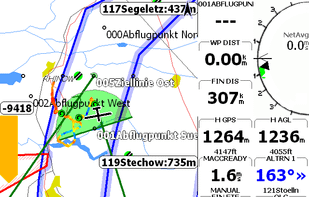
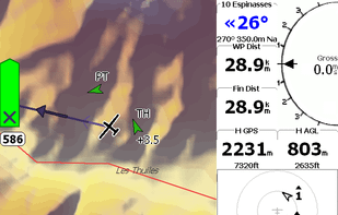
The most complete GPS tool on market: Navigate, manage waypoints, tracks, routes, build your own dashboard from 45 widgets.
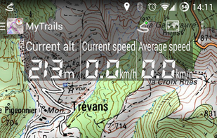
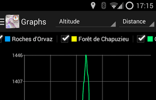
Offline trail maps for Android (and online too!) Full-screen trail map oriented with the built-in compass Know exactly which direction you are going Uncluttered map area, with unobtrusive controls and a traditional scale with track duration and distance Record GPS tracks Visualiz.

Offline compass is free and simple navigation compass for orientation control that shows direction relative to the geographic cardinal directions. It's an easy way to determine direction of a true magnetic north.


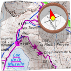
Relief Maps is a GPS application focused on outdoor sports, the app is based on an beautiful and high-performance 3D map.


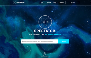
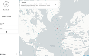
Spectator simplifies access to satellite imagery from NASA, ESA and other providers. It gives you access to images archives, but also tracks satellites in real-time to give you information about next image acquisition.

Plan trips and record GPS tracks for free, with the best outdoor app. Browse hiking trail maps, hunting units, and scout offroad camping trips.


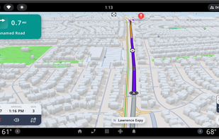
Turn-by-turn voice guidance, live traffic, customizable routes, group chat, real-time location and ETA sharing, meet-up coordination, and alerts.

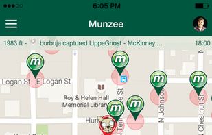
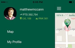
Track down QR Codes hidden in the real world and capture them for points. Whether you are a casual player, an avid explorer, or a hardcore competition enthusiast, Munzee helps you rediscover the world around you.


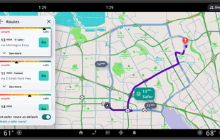
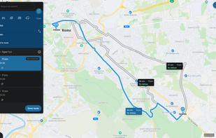
Web-based trip planner with real-time traffic data, route optimization options, device syncing, integration with mobile navigation, and commute monitoring tools.

Ariadne GPS is a map that talks to you. VoiceOver and gives you access to information that are normally unavailable to people using the speech synthesizer and can be therefore especially useful to blind and partially sighted people.

Naviki is the comprehensive bicycle App! Naviki offers worlwide best route planning for bicycles and an impressive documentation of your cycling activities.

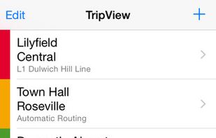
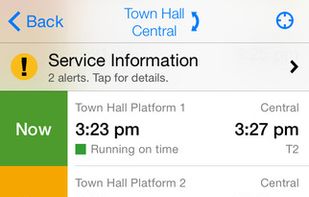
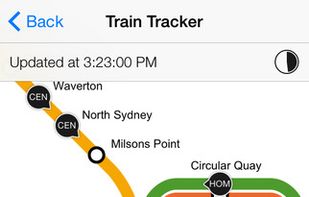
TripView displays Sydney Train/Bus/Ferry timetable data on your phone. It features a summary view showing your next services, as well as a full timetable viewer. All timetable data is stored on your phone, so it does not require any network access.

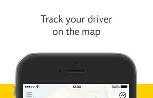
The Yandex.Taxi app is a quick, easy, and safe way to order a taxi. No calls, no waiting on hold — just one tap, and your order is sent to the available driver closest to you so they can reach you as quickly as possible.


The Priority Pass app helps Members locate the 850+ airport lounges in the program as well as access information about opening hours, facilities and any special conditions of particular lounges.


XCSoar is a tactical glide computer originally developed for the Pocket PC platform. In 2005, the originally commercial software was given to the open-source community for further development and has constantly been improved since.

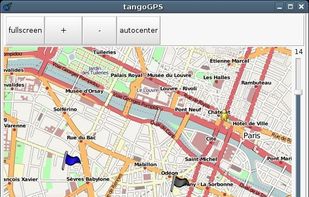
tangogps is an easy to use, fast and lightweight mapping application for use with or without GPS.

Free navigation, 3D maps, voice guidance and tourist information always available on your java enabled mobile phone, without internet connection.

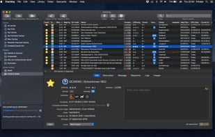
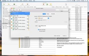
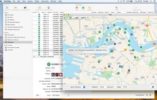
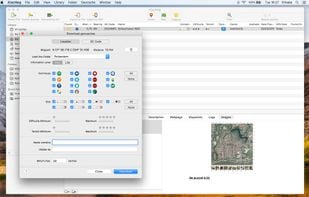
iCaching is the all-in-one Geocache manager for the Mac. It is a fast, native app with a real Mac userinterface like you’re used to from applications like iTunes. Available in the Mac App Store.