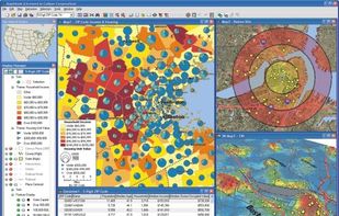

ArcGIS offers unique capabilities and flexible licensing for applying location-based analytics to your business practices.
Cost / License
- Paid
- Proprietary
Application types
Platforms
- Windows
- Online
- Android
- iPhone
- Android Tablet
- iPad
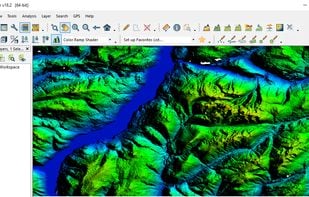
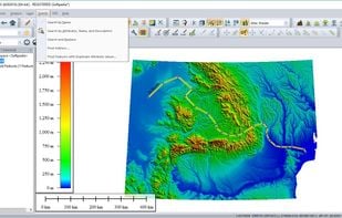
Best alternatives are  QGIS
QGIS
52 alternativesQGIS