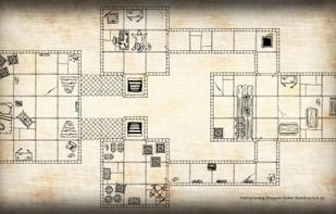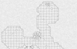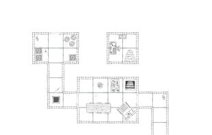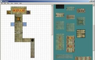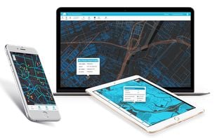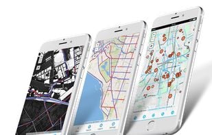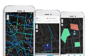

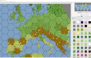
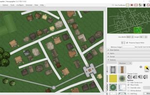
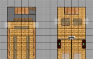
An integrated overland hex mapper for worlds or regions; settlement vector mapper for cities or villages; and square battle mapper for dungeons.
Cost / License
- Freemium
- Proprietary
Platforms
- Mac
- Windows
- Java
Best alternatives are  Azgaar's Fantasy Map Generator
8 alternativesAzgaar's Fantasy Map Generator