
Cost / License
- Free
- Proprietary
Application types
Platforms
- Android
- iPhone
- Android Tablet
- iPad

+2


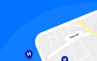
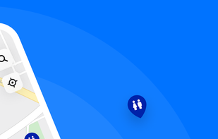
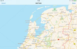
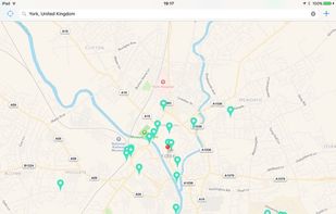
Flush Toilet Finder is the quickest, simplest way of finding a public bathroom or restroom. Simply open the app and it will display the nearest toilets to you. It's free, no in-app purchases and has over 200,000 bathrooms in its database!

Did you ever wish for a printed map poster of your hometown or a place where you fell in love? Well, if that place isn’t Paris, London or New York chances are you've ended up empty handed.
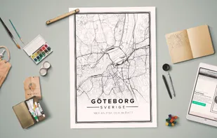
Create your own free custom Map of World, Europe, Asia, United States and others in 3 easy steps. Download it for free and use it for a great visual representation.

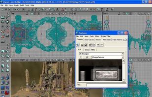
UnrealEd (UEd for short) is the level editor used to create levels for Unreal engine games (eg UT2004 or Killing Floor). Built-in scripting language called UnrealScript allows for editors to customizing game content.


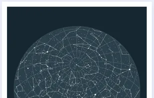
It is hard to represent our spherical world on flat piece of paper. Cartographers use something called a "projection" to morph the globe into 2D map. The most popular of these is the Mercator projection.

This program allows work with any maps service if you can describe getting picture by longitude/latitude(if you want you can write config file or simplepascal script to describe how obtain needle photos).

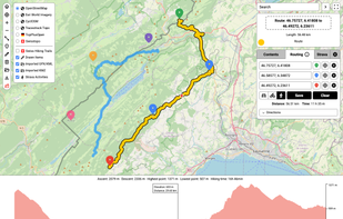
Free online editor for GPX, KML & Strava routes. Create, view, and edit tracks. Features routing & elevation profiles. Privacy-first, no signup.


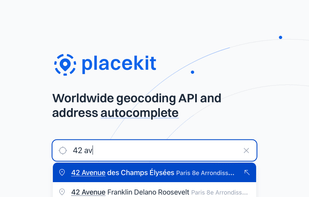
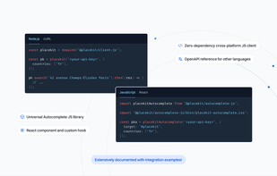
Our mission at PlaceKit is to become the go-to geocoding solution for developers. Existing solutions feel opaque as they're split across many indiscernible APIs, confusing pricing, and locking developers into their ecosystem.

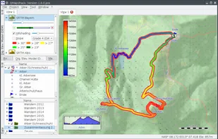
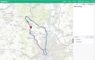
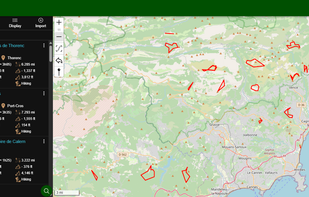
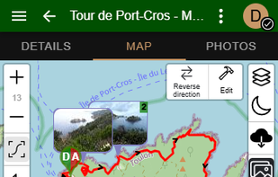
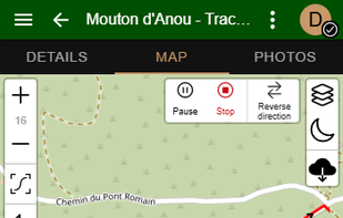
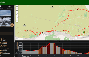
Trailence is a free and open-source application for managing your outdoor trails and GPS tracks. You can record new tracks, import existing ones, organize them, and view them on a map. The app also allows you to edit your trails and keep them neatly organized.
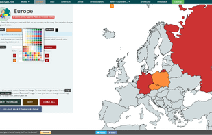
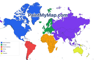
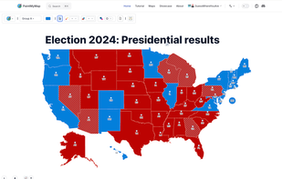
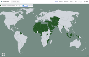
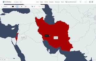
A free online tool to create and customize maps. You can paint countries with colors, patterns, or textures, place shapes and SVGs, edit map structures, and even load your own data.

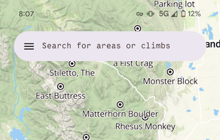
Explore the world with Mapcarta. The open map that unites the world, with the collective knowledge of OpenStreetMap, Wikipedia, Wikidata and other open projects.

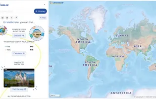
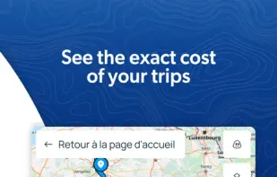
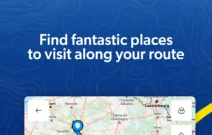
Global maps, real-time traffic updates, journey planning with cost calculations, GPS navigation, and amenity info including stations, hotels, and dining.

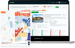
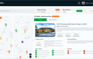
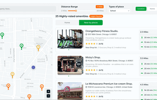
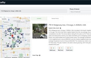
Kurby is the first and only real estate platform that provides AI-powered insights on any property or location in the world.
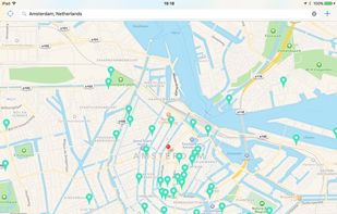
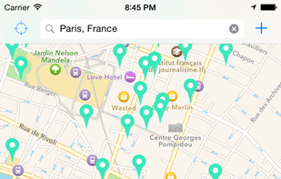
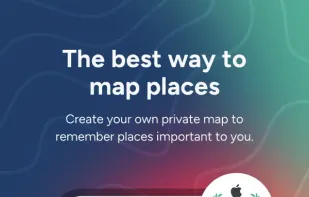
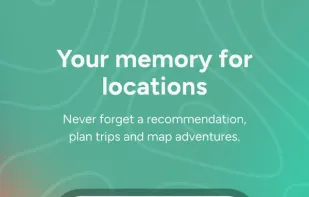
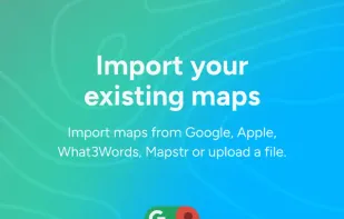
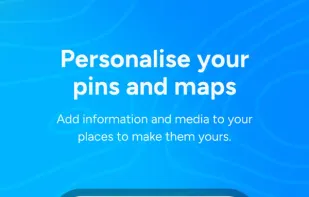
Pin Drop is a free app that helps you remember and organise places you've been, want to go, and plan trips. Import from Google Maps, What3words, Apple Maps, Mapstr, Foursquare and more to super-charge your content with Pin Drop.


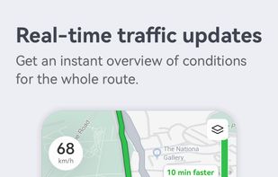
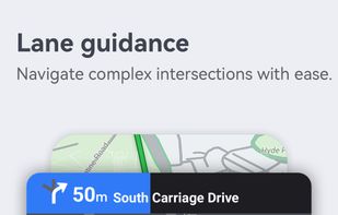
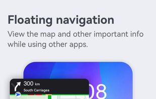
Explore interactive 2D/3D maps with real-time traffic, fast rerouting, extensive location search, category-based place recommendations, and coverage in 160+ regions.

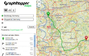
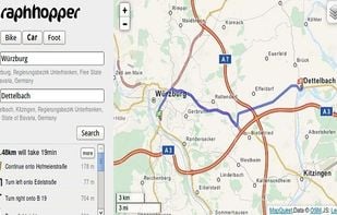
A fast driving directions API with world wide coverage. Based on open source software and OpenStreetMap. Stay independent and flexible.

Customized 2D and 3D maps, including interactive solutions for events and tourism, with features like real-time effects and collaboration.


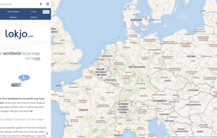
Lokjo is the first worldwide & non-profit map from European soil where you can find all local shops & places, regardless of their size or advertisement budget. We just list them all.

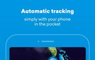
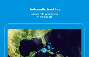
Automatically track your travels in a beautiful way. FindPenguins creates your travel journal, simply with your phone in the pocket.