
OpenMapTiles is a set of open-source tools for self-hosting of OpenStreetMap maps in more than 50 languages. It provides both raster as well as vector tiles, WMS and WMTS services for GIS programs, support for JavaScript viewers and mobile SDK.
OpenMapTiles is a set of open-source tools for self-hosting of OpenStreetMap maps in more than 50 languages. It provides both raster as well as vector tiles, WMS and WMTS services for GIS programs, support for JavaScript viewers and mobile SDK.

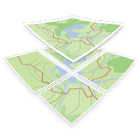
TransforMap works towards an online platform for you to visualize the myriads of alternatives to the dominant economic thinking on a single mapping system.

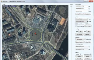
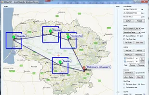
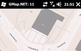
GMap.NET is great and Powerful, Free, cross platform, open source .NET control. Enable use routing, geocoding, directions and maps from Google, Yahoo!, Bing, OpenStreetMap, ArcGIS, Pergo, SigPac, Yandex, Mapy.cz, Maps.lt, iKarte.

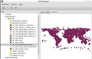
PostGIS adds support for geographic objects to the PostgreSQL object-relational database. In effect, PostGIS "spatially enables" the PostgreSQL server, allowing it to be used as a backend spatial database for geographic information systems (GIS), much like ESRIs SDE...

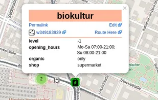
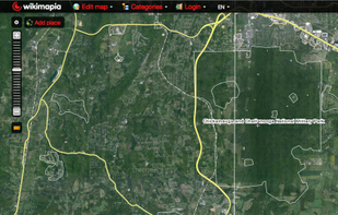
Wikimapia is an online editable map - you can describe any place on Earth. Or just surf the map discovering tonns of already marked places.


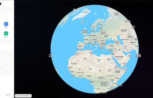
Fast, private, and minimalist maps designed for you. Heexy Maps offers a no-tracking, privacy-first alternative for everyday navigation and exploration.

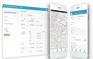
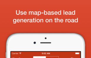
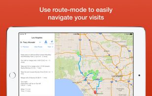
Badger enables the sales team to manage their territory by combining Google Maps, data from the CRM, schedule planning, route optimization, and lead generation on the sales person’s mobile device.


Retred allows users to visualise historical events on a map.
Users may search for specific event participants or places, filter by time range, event type or event importance. Users may also sign in and add more events.
Retred is an open source project and uses open data from db.


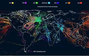
PlanePlotter receives and decodes live digital position reports from aircraft and plots them on a chart. You can see a radar-like display of all those aircraft around you broadcasting digital messages including ACARS, ADS-B and HFDL.

CyclOSM is an OpenStreetMap cycle-oriented render. Contrary to OpenCycleMap, this render is free and open-source software and aims at being more complete to take into account a wider diversity of cycling habits.

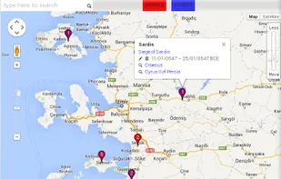
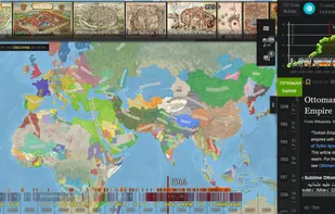
Chronas is a history map application with over 50 million data points which every registered user can curate and contribute to (just like Wikipedia).

A private, free and open source replacement for Google Maps and other geocoding services that relies on Photon, which you can run on your own server. It uses the Photon API to fetch results to your phone, allowing you to search for places in...

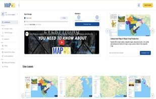
MAPOG is an AI-powered interactive mapping platform that lets users create map-based stories, add images, videos, links, and details to pins, manage tasks, collect field data, sort locations by live position, and share or embed maps.


The reference implementation of the Open Geospatial Consortiums WFS and WMS services, GeoServer is a full featured open source software server written in Java that allows users to query, visualize, combine, edit and publish spatial data over the web.

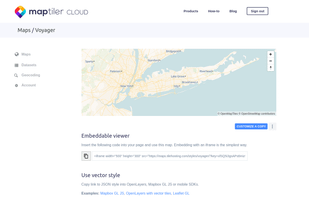
Online maps for web, mobile apps and desktop software. You can change colors, add or remove particular map elements or enhance the map with own geodata.


The Headway Project was born out of a frustration with the need to send current and future location data to a corporation in order to figure out how we’re getting from A to B. Offline-only maps apps can be frustrating to use, and sometimes suffer from performance problems, poor...

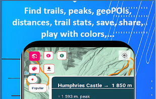
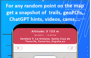
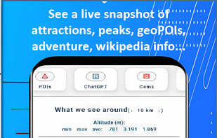
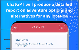
Trail Explorer is a website and a mobile app to explore any location on the map, discover nearby hiking trails and places of interest, explore outdoor sports opportunities, ChatGPT advice and insights, videos, webcams, the weather, news across 20 categories.

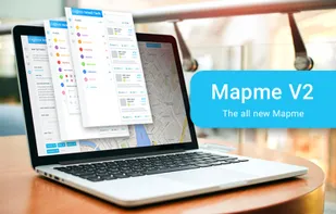
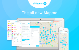
Build smart and beautiful maps with the Mapme platform. Takes only minutes to set up and there's no coding needed.

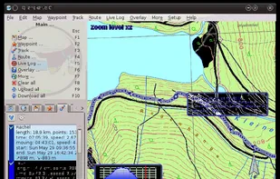
QLandkarte GT is a powerful Open Source GIS application to display your GPS data on a variety of maps. It's target is the less the scientific user but the private outdoor aficionado
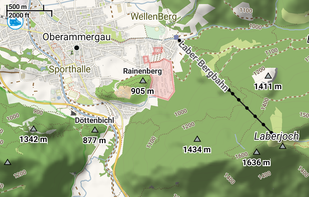
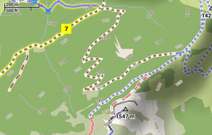
Offline vector maps support hiking, cycling, skiing, off-roading; enables track recording and background navigation; map filtering, custom places, terrain contours.

Service Mapny designer allows you to create a map anywhere in the world. Interior, geographical, maps of the sky of the highest quality


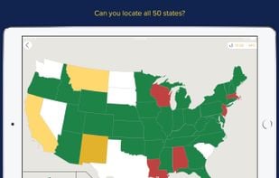
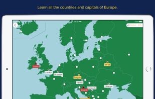
Whether you're studying for final exams or Final Jeopardy, Seterra has the geography category covered. The popular online and desktop based map quiz classic that has been entertaining and educating geography buffs ages 8-88 for more than 20 years has gone mobile.


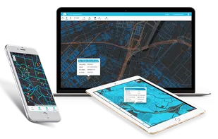
GIS Cloud is a complete Online Mapping Solution for: