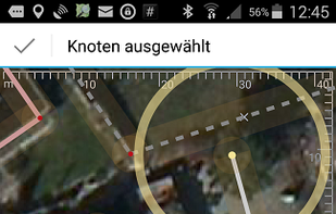
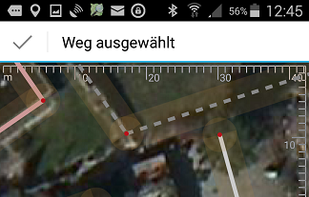
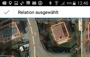
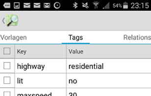
Vespucci is the first OpenStreetMap editor for Android. That means: It is a light-weight, easy-to-use mapping tool on mobile Android devices.
+7
Vespucci is the first OpenStreetMap editor for Android. That means: It is a light-weight, easy-to-use mapping tool on mobile Android devices.
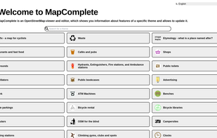
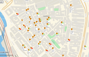
MapComplete is an OpenStreetMap-viewer and editor, which shows you information about features of a specific theme and allows to update it.

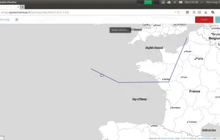
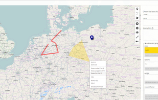
uMap let you create maps with OpenStreetMap layers in a minute and embed them in your site. Add custom annotations, lines, shapes, import and add custom layers (KML, CSV, GPS, ...) and other data.

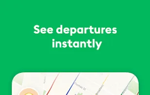
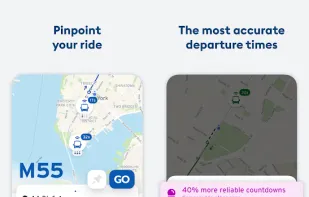
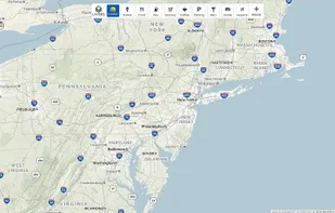
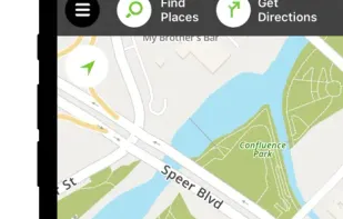
Real-time departures. Transit maps. Line status and real-time disruption alerts. Uber integration. Bike routing and live bike share info. Constant updates. Everything you need -- and may not even realize you need -- to manage your life in the city.
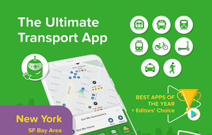

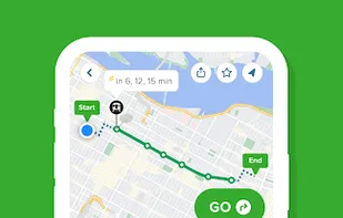
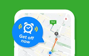

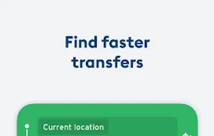
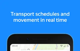
Access real-time transit predictions and A-to-B trip planning in over 100 cities. Locate nearby transport options like bike shares and ride services.


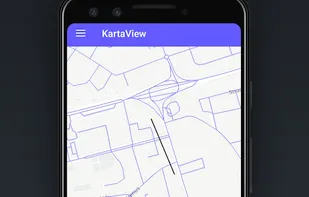
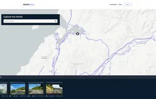
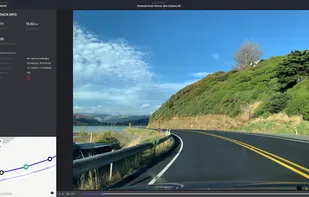
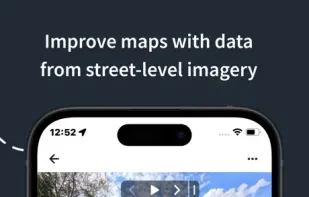
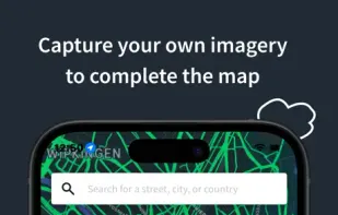
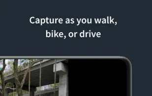
KartaView is a free and open platform for street level imagery. Anyone can contribute images with a smartphone and the open source apps.


Streets GL is a real-time 3D map renderer built for visualizing OpenStreetMap data with a heavy focus on eye-candy features.


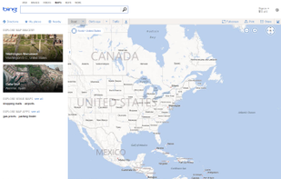
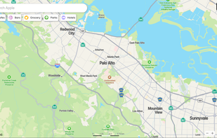
Yandex.Maps gives you access to maps of over 1800 cities and towns right in your pocket. Find addresses and companies. Plan your journeys in a car or on public transport taking current traffic conditions into account.


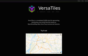
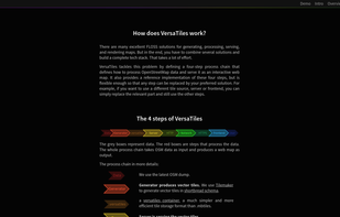
Open-source stack for processing and distributing OpenStreetMap-based interactive map tiles, featuring customizable implementation free of commercial interests.

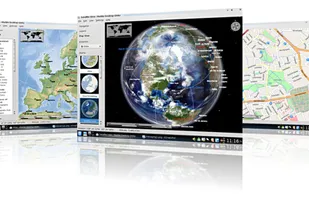
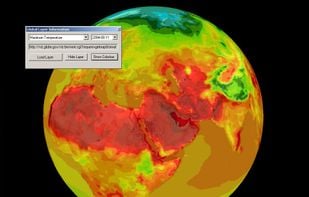
Marble is a Virtual Globe and World Atlas that you can use to learn more about Earth: You can pan and zoom around and you can look up places and roads. A mouse click on a place label will provide the respective Wikipedia article.

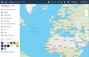
Create personalized maps using Open Street Map data and integrate them seamlessly into web and mobile applications with advanced styling tools.


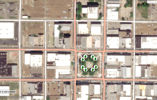
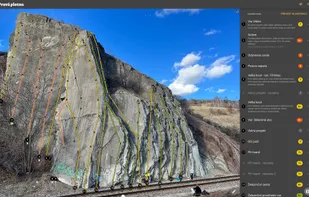
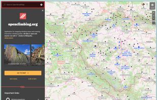
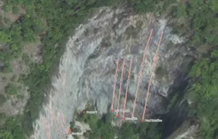
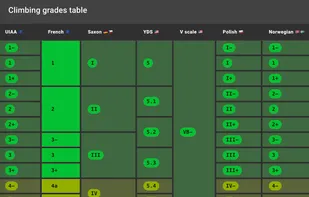
Application for mapping climbing areas and creating interactive climbing guides. All data is open and anyone can edit it – similar to Wikipedia.

MapLibre GL is a community-led fork derived from mapbox-gl-js before their switch to a non-OSS license.

World Wind lets you zoom from satellite altitude into any place on Earth. Leveraging Landsat satellite imagery and Shuttle Radar Topography Mission data, World Wind lets you experience Earth terrain in visually rich 3D, just as if you were really there.


Supplies voice-guided GPS navigation, live maps, real-time traffic, route alternatives, cost comparisons, weather, POI search, and hotel and food booking.
OSMv or Simple OSM Viewer is a very simple application that is using library osmdroid to display various maps.

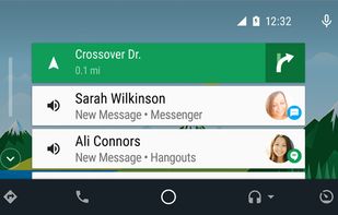
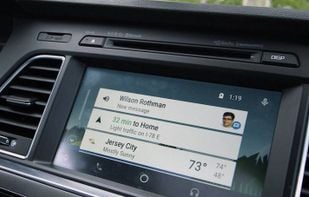
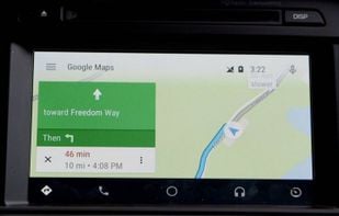
Android Auto brings familiar apps and services to the screen in your dash, making it safer and easier to get the information you need while you’re on the road. Test drive Android Auto with your Android 5.0+ device and a compatible vehicle or aftermarket head unit.


Collaborative street-level imagery platform using computer vision and machine learning for mapping, urban planning, transport, and geospatial dataset enhancement.


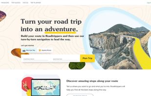
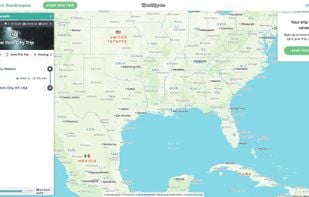
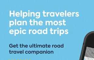
Turn your road trip into an adventure. Roadtrippers is the world’s #1 road trip planning tool, with more than 25 million trips planned to date covering more than 16.9 billion miles. Whether you’re looking for an RV trip planner app or just planning your next summer road trip...

Web mapping service offering street maps, aerial imagery, route planning, traffic updates, labeled points of interest, multiple views, and global coverage.

Kagi Maps is a powerful tool that simplifies the process of finding businesses, points of interest, and addresses. With Kagi Maps, you can easily search for locations, get driving or walking directions, and discover interesting stops along your route.

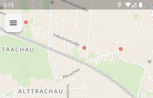
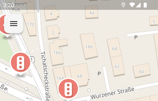
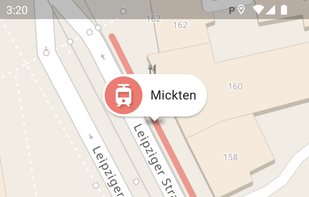
App for collecting OpenStreetMap-compliant accessibility data in public transport and elsewhere.


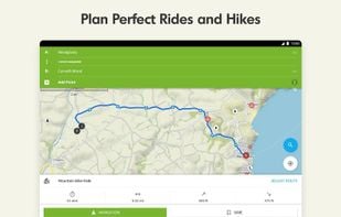
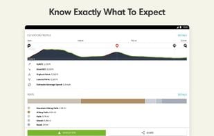
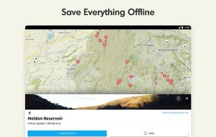
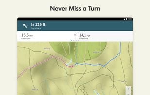
Komoot is the key to the outdoors. Just plan your hiking, road cycling or MTB adventures in the planner, and be guided along every trail, track, road or path—even when you’re offline. Get your first region for free and say hello to your next adventure!