ProAlign provides an integrated suite of web-based and desktop territory analysis and mapping software.
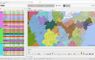
ProAlign provides an integrated suite of web-based and desktop territory analysis and mapping software.

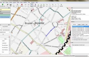
Merkaartor is an OpenStreetMap editor for Unix, Windows and Mac OSX (prerelease, Intel only), distributed under the GNU General Public License.

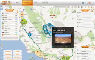
Find travel locations, cheap hotels and rental cars on a route map with Where To Travel Next. Search hundreds of travel locations at once.
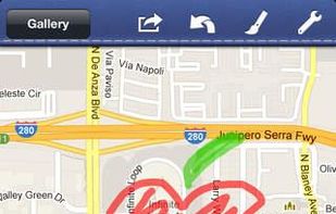
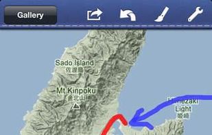
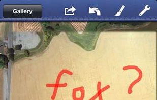
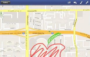
Map Pad is an application that turns your maps into notepads. It behaves like a painting application, allowing you to use a variety of brushes to write letters, and draw lines or illustrations on your maps.

Universal Maps Downloader is a tool that help you to get small tile images from online maps:

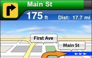
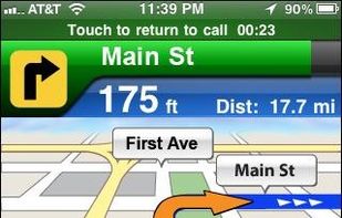
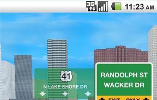
AT&T Navigator transforms your smartphone into a voice-guided GPS navigation system, with turn-by-turn driving directions, traffic alerts, automatic rerouting, gas price search, and regular map updates.
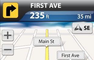

VZ Navigator by Verizon tells you where you are and what's nearby, providing turn-by-turn directions to get to your destination on time.

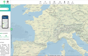
Free French mapping and itinerary service with address search, route comparison, real-time traffic, public transit, and distance calculations for any location.

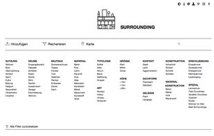
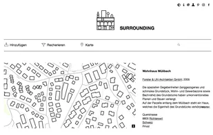
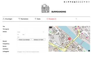
Surrounding is a free and independent community to upload and collect informations about building and its details. Every user is able to collect favorites in lists or print and even download lists - in highresolution.

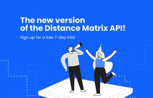
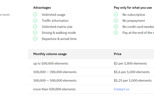
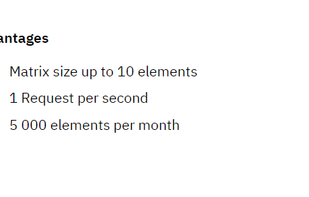
The APIs for computing distances, that accounts for traffic conditions, has different travel modes, forecasting features, and unlimited matrix size.

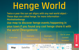
Twice a year the sunset aligns with any real-world object - These days are called henge. Use the website to discover henge events happening in your town.

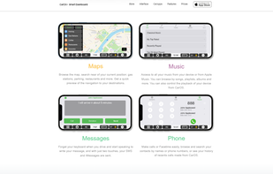

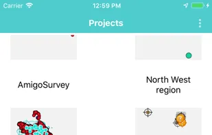
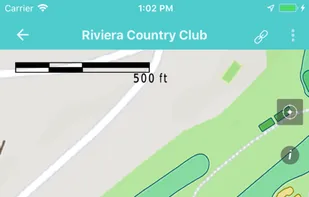
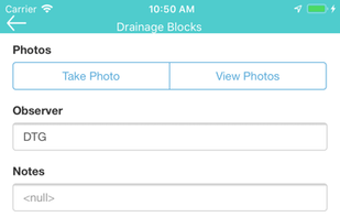
AmigoCollect is a field data collection mapping solution that allows teams to work in collaboration on real-time through mobile devices (iOS & Android). No GIS training & minimum investment.


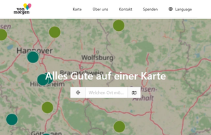
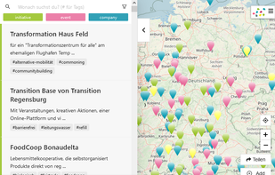
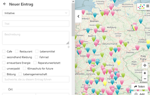
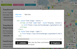
Mapping-Frontend to find and add sustainable Organisations (Initiatives, Companies) and Events on Kartevonmorgen.org / MapofTomorrow.org.
Venue Map for foursquare helps you find venues anywhere around the world on the map.

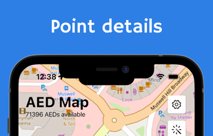
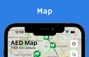
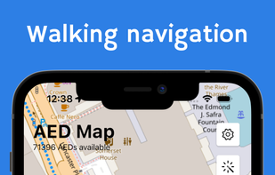
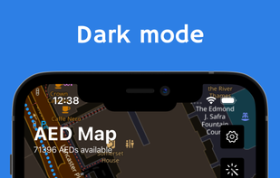
OpenAEDMap is an open-data project which shows all Automated External Defibrillators (AED) around the world. The website is based on data from OpenStreetMap and is the result of OpenStreetMap Poland's association efforts.

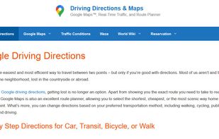
Get FREE Driving Directions between any point (address, city, state, zip code, or GPS Coordinates) shown on Google Maps™ and follow the turn-by-turn directions that will be displayed below the map.

Through an easy-to-use online platform, Positive Prints gives you the ability to create personalized city maps, custom moon phase art, lake art and country maps. Available as an instant digital download, poster print or pillow.


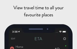
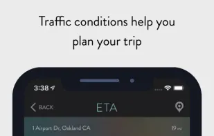
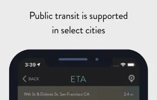
ETA instantly shows travel time (including support for driving, public transit*, cycling* and walking) to your favourite places. When driving, ETA also supplies traffic information that details any delays on your route.

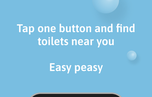
Welcome to EasyPZ - your ultimate toilet finder app in Berlin and NYC! Say goodbye to bathroom emergencies with our user-friendly interface that helps you locate clean, accessible restrooms wherever you are.


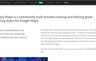
Snazzy Maps is a repository of different styles for Google Maps aimed towards web designers and developers.. All styles are licensed under creative commons and are completely free to use.

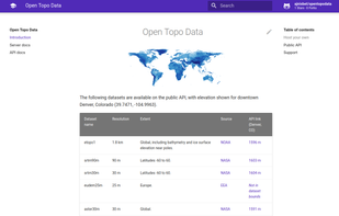
Open Topo Data is an open alternative to the Google Maps Elevation API. We have a free public API for multiple high-resolution DEM elevation datasets.

OSM-based worldwide map API and public map portal. Multi-profile directions, mapmatching, geocoding, map tiles - with easy integration, on reasonable prices.

Therion is a complete package which processes survey data and generates maps or 3D models of caves. It runs on wide variety of platforms: Linux, Windows, Mac OS X. It is completely free, released under the terms of GNU GPL, with source code available.
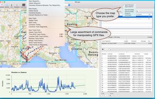
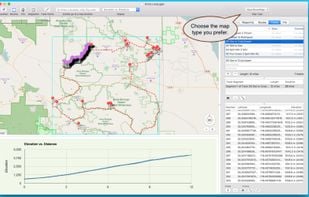
GPX Viewer views GPX files exported from many GPS devices and other apps such as our Road Trip Planner.