
+2

KML to KMZ, Geojson, Topojson, GPX, CSV, converter now available on the app store feel free to download because it's fully free. convert any compatible file format.


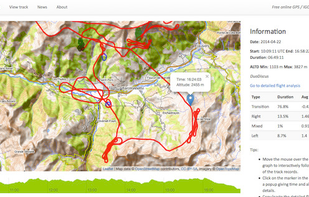
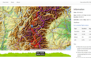
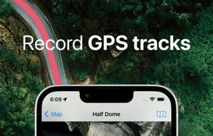
e-Logbook is a free interactive online GPS / IGC track viewer. It allows you to visualize a GPS / IGC track on an interactive 2D topographic map with flight analysis features.

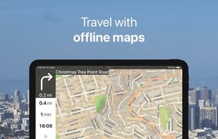
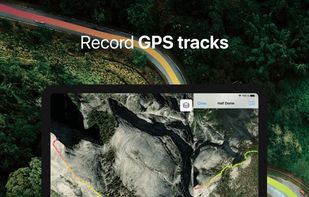
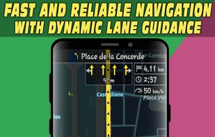
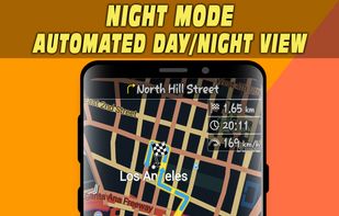
Offline maps with monthly updates, turn-by-turn and voice navigation, real-time GPS tracking, fast multilingual search, millions of POI, and map downloads.

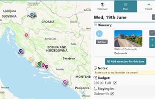
Pineqone has destination guides for the entire world, a huge database of sights and attractions, and a Planner Tool which allows travelers to easily plan and budget their trips.
H2GIS is a spatial extension of the H2 Database Engine in the spirit of PostGIS . It adds support for managing spatial features and operations including a Geometry constraints, the Open Geospatial Consortium...

The TomTom Maps APIs allow you to easily build location-aware applications. A variety of cross platform REST APIs and SDKs are available to build and enhance your mobile and web apps with search, routing, mapping, traffic and navigation features.

Stadia Maps provides great looking maps and geographic data services. We’re here to help you grow your business, not your bills.

Discover camping destinations within your drive radius with weather-intelligent filtering for vanlifers, overlanders, and road travelers.

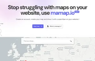
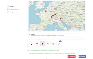
Easily create and embed a customizable, interactive map with markers, images and search functionality in just a few minutes. Enhance and customize your user experience without using ugly iframes.


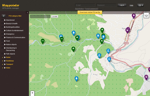
Waypointer is a service for POI (GPS coordinates) search and management. It will be useful for tourists and owners of GPS devices. With help of Waypointer you can find POIs on map filtered by categories (i.e. spring or camping sites), and prepare your next journey. Also you can e.

gMaps - Google Maps for Windows Phone 7

Spatial Feature Server by MapET is an ESRI Geoservices REST Implementation and works with all ESRI Rest API's. The source of published data is the spatial extension of the major RDBMS, such Oracle, Microsoft SQLServer, MySQL, PostgreSQL.

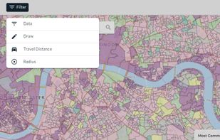
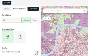
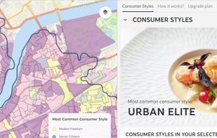
Spotzi is an easy-to-use online geomarketing platform you can try for FREE. Spotzi has a short learning curve, so you don't have to be a data scientist to work with Spotzi. Our main goal is to find your best-fit customers in just a few clicks.
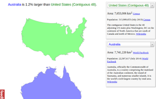
Compare sizes of geographic areas by drawing a polygon on a map and overlaying it onto another part of the world. Also supports drawing paths and rotating the shape on the target map.
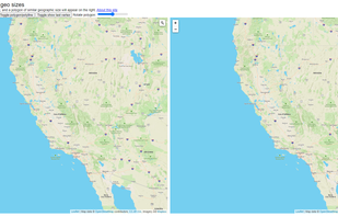

OpenStreetMap based POI search tool (supports multiple criteria), POI download, search project reuse, etc. Can be used in market analysis and area research.

Comparea provides an accurate way to compare the area of two geographic locations. It uses a projection that helps minimize distortion so you can get a better idea of how big areas like Australia and Alaska really are in comparison to others like the United States and Brazil.


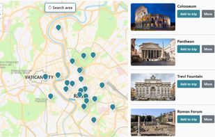
TravelPeri lets you find top tourist attractions around the world hassle-free, even on the move! View travel times and distance to each destination on request!.


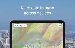
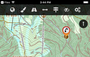
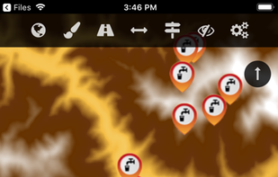
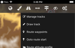
The Cartograph app views Mapsforge offline vector maps, offline raster maps, and online/WMS maps. It supports tracking, route search, overlays, hillshading, reliefs, track drawing, and has many other features.


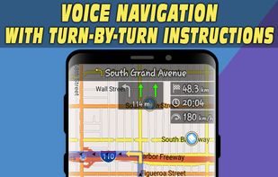
Offline navigation app with HD maps, voice-guided directions, categorized POI search, lane and speed limit alerts, and route recalculation for Android.


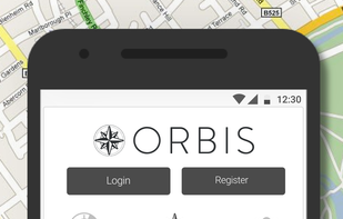
Orbis is a geolocation social network where users can checkin to places around a map and conquer them for their grous. The app maps the hidden personality groups of a region by allowing them to tag their symbols in a crowdsourced map.


Hawaii Revealed app is the perfect companion to the book, or you can use it as a stand-alone app. Download and preview free information about Hawaiian culture, hotels, activities, restaurants and more for all four islands.